A Map Can Erase a Name, or Rescue a History
Original Chinese title: 一張地圖可以消滅一個名字,也可以救回一段歷史
From revitalization of Indigenous place names, GIS, cultural sovereignty and data governance, this article analyzes how maps preserve or erase local memory.
葉筱晴
Observer of local knowledge and cultural maps, focusing on how place names, oral history, GIS and community memory are preserved, repaired and re-understood in digital platforms.
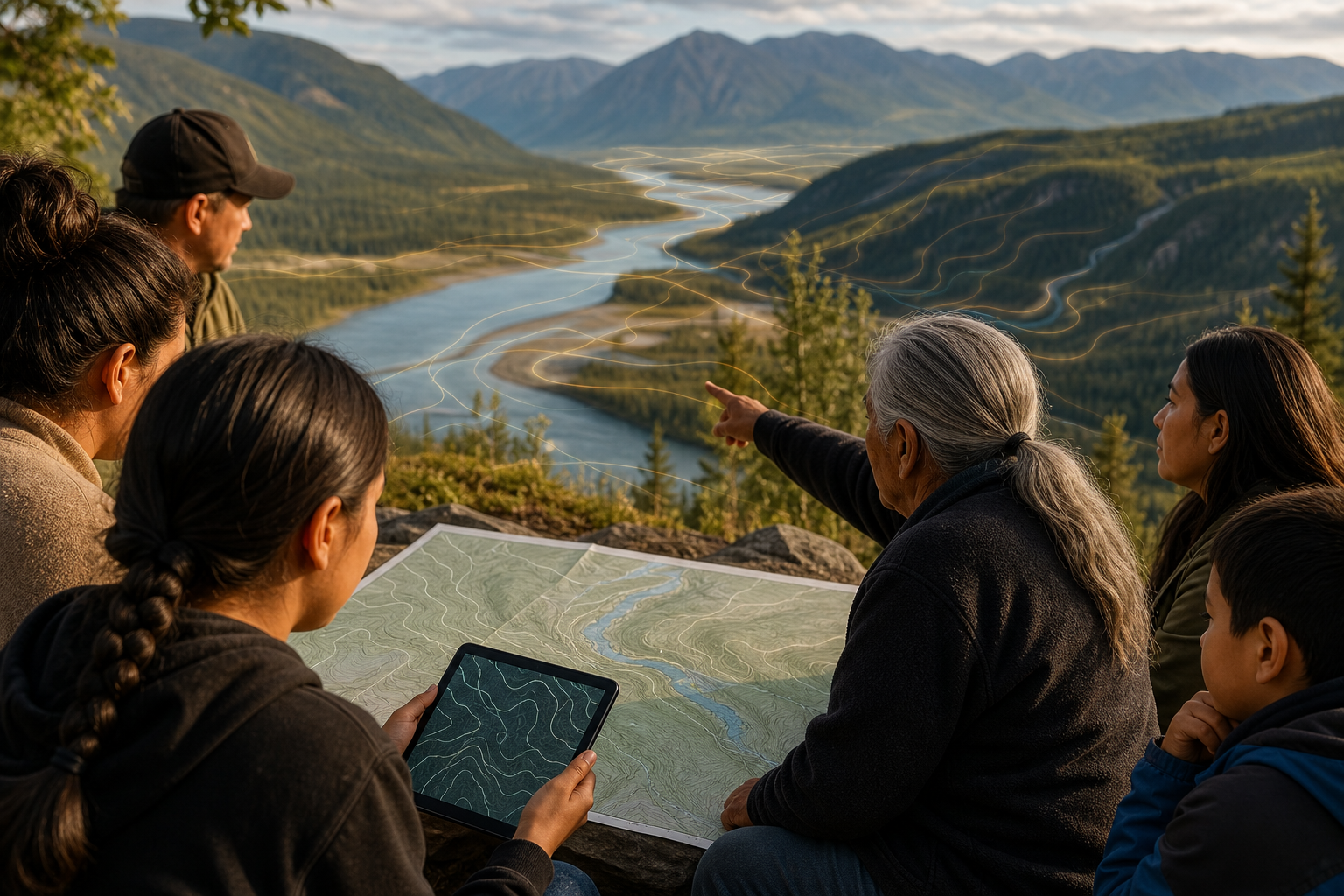
Navigation can take you to a place, but not necessarily to that place's true name. This sounds like something on the wall of a hipster café, but it is actually very political. Because maps are never just paper, layers or app interfaces. Maps decide which names are enlarged and which are shrunk; which roads are drawn as main routes and which remain grey thin lines; which settlements are marked as administrative units and which ancestral landscapes are classified as "unnamed areas". A map can erase a name, or rescue a history.
Revitalizing Indigenous place names is not pasting old names back for cultural decoration, nor to add exotic flavor to tourism guides. Place names are a system of land knowledge. They may describe terrain, water flow, wind direction, plants, animal presence, disaster memory, migration routes, taboo boundaries, family stories or ancestral events. Mainstream maps often flatten these complex meanings into an administrative name, like stuffing the entire mountain's memory into a postal code and then declaring positioning successful.
Maps Are Not Neutral Tools
Modern people trust map objectivity too much. As long as GPS has positioning, scale is correct, routes can be calculated, we think maps are just service tools. But from colonial history, naming itself is power. When foreign regimes, administrative systems, survey teams or development companies name land, they are not merely describing places; they are rearranging who qualifies to explain them. Original Indigenous language place names may be mistransliterated, misunderstood in meaning, directly replaced, or even treated as informal, non-standard, unsuitable for official documents.
Such renaming is not just linguistic change; it is memory governance. When a child only sees foreign names in textbooks, road signs, maps and navigation from childhood, they gradually think that is the land's original name. Grandparents' place names become "old people's old ways of speaking", no longer regarded as public knowledge. After several generations, the land remains, but names are like paths washed away by rain, slowly retreating from the public world into family memory.
The black humor is that modern navigation excels at telling you where convenience stores are, yet often does not know why a stream has its name; it can take you to the scenic spot parking lot in the shortest time, but does not know which slope was once someone's farmland, hunting ground, refuge route or post-disaster migration path. Technology is not unintelligent; it is trained to serve consumers rather than respect land memory.
Renaming Is Not Nostalgia, It Is Governance
Many places worldwide are now facing Indigenous place names again. New Zealand, Canada, Australia and the Sámi regions of Northern Europe all have varying degrees of bilingual signage, official renaming, traditional name databases and map platforms. These works are not merely cultural symbols; they involve education, land rights, environmental management, tourism ethics and public administration. When place names return to maps, public discussion can no longer pretend that a piece of land has no deeper history.
But revitalizing place names cannot be simplified to "find the old name and paste it back". First, place names may have different versions; different families, age groups or Indigenous communities may have different pronunciations and stories. Second, some place names link to taboos, ceremonies, burial grounds or knowledge not suitable for public display on open maps. Third, once digitized, place name data can be re-used by platforms, tourism industry, researchers or commercial developers. Without data governance, revitalization may become another form of cultural extraction.
Therefore, the combination of Indigenous place names and GIS cannot be just a technical project; it must be a community governance project. Who provides place names? Who approves spelling? Who decides public access level? Can they withdraw? Who gets data authorization? How do platforms display uncertainty? How are schools to use them? Can tourism guides cite them? These questions matter far more than "should map icons look pretty". Pretty interfaces are charming, but beauty cannot replace consent. Many cultural appropriations have been done with great design sense; that is precisely where they become troublesome.
The Dual Nature of Digital Maps
Digital tools indeed provide opportunities. Place names scattered in elders' memories, paper records, research reports, old maps and field notes can be re-linked through databases, interactive maps, audio files, photos, stories and educational materials. Children can see Indigenous language place names and ancestral routes on their phones; local schools can integrate place names into curricula; communities can use maps to discuss disasters, rivers, farmland, trails and cultural sites.
But the same tools also carry risks. Open maps may attract unconsented tourism, turning quiet places into photo spots; sensitive place names may expose burial grounds, ceremonial sites or resource locations; platforms may incorporate community data into commercial maps without letting communities control usage. Not to mention AI models may scrape place name data and generate seemingly correct but actually confused cultural introductions. The most terrifying outcome is not that the map is wrong, but that it is confidently wrong with beautiful illustrations.
The most important spirit of revitalizing place names is to re-relationalize land. Names are not labels; they are entry points to relationships. When a stream's name describes fish schools, stones or a certain flood, it reminds people that this is not merely a waterway; when a mountain's name carries ancestral stories, it reminds people that this is not just a green zone in a development project; when a piece of land is re-named in Indigenous language, it lets public language acknowledge that here did not begin to exist only from the day of administrative naming.
Arrival Beyond Navigation
A good map should not merely answer "how to get there", but also remind "you are entering whose memory". This does not require every user to become an expert; rather, it asks public platforms to acknowledge the existence of local knowledge. For Yuan Media AI, place name issues matter because they connect data sovereignty, cultural revitalization and digital public infrastructure. If future maps still only serve traffic flows, commercial districts and scenic spots, they are merely smarter colonial tools; if they let local communities decide how to present their own names, they can become media for repairing history.
Navigation will say: turn right in 300 meters ahead. Land may ask: do you know whose path you are walking? These two voices need not exclude each other, but we must at least acknowledge that the first voice has been too loud and long enough. Now it is time to let the second voice return to maps.
Sources and Further Reading
- UN Permanent Forum on Indigenous Issues materials on Indigenous rights and cultural issues
- Native Land Digital and examples of Indigenous mapping platforms
- New Zealand Geographic Board materials on official bilingual names and the restoration of Indigenous place names
- CARE Principles for Indigenous Data Governance
AI use and content-safety disclosure
This article was compiled and proofread through Yuan Media AI editorial workflow, for human editorial review before publication.