Forests Are Not Blank Pages: How LiDAR Archaeology Rewrites the Amazonian City Imagination
Original Chinese title: 森林不是空白頁:LiDAR考古如何改寫亞馬遜城市想像
LiDAR and remote-sensing archaeology are rewriting the old story of the Amazon as a pristine wilderness, but new technology must avoid turning living Indigenous histories into external academic trophies again.
鄭淑禎
Full-time Assistant Professor, Shih Chien University
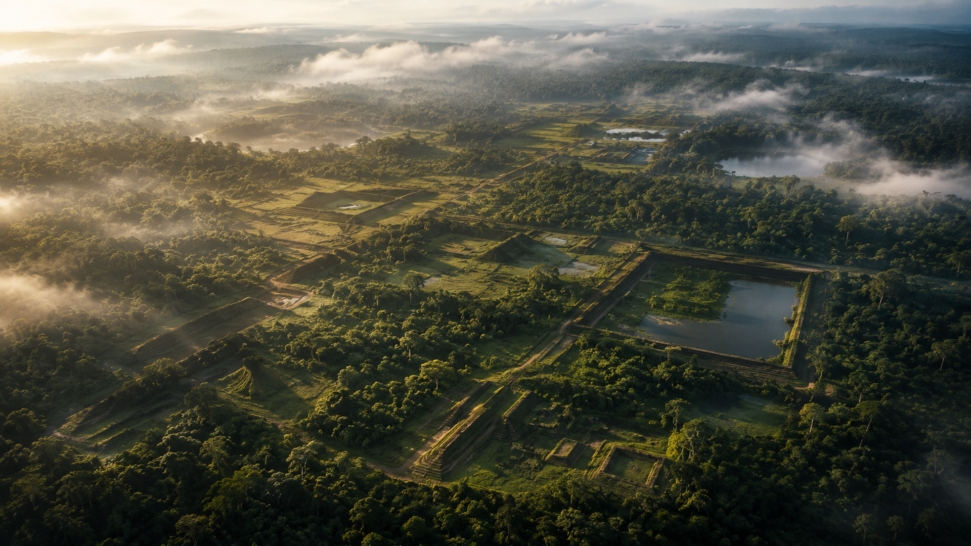
Forests Are Not Blank Pages, Just Some People Cannot Read
For a long time, the Amazon has been written in mainstream imagination as two extremes: either pristine wilderness or dangerous jungle. These two statements seem opposite but share one problem: they both remove people from the forest, especially Indigenous peoples' engineering, agriculture, roads, water systems, settlements, and knowledge. The forest is said to be a place without human history, then conveniently renamed, redeveloped, and repossessed by external powers.
LiDAR archaeology in recent years has started to leak this old story. Laser scanning penetrates the canopy, reconstructs microtopography of the ground surface, brings roads, platforms, ditches, gardens, fish ponds, and settlement traces from "invisible" into discussable range. It is not magic; it simply makes landscapes long covered by forest and obscured by colonial narratives regain their outlines. What truly gets scanned out are not only ancient cities but also modern people's narrow imagination that "only stone temples count as civilization."
Garden Cities Are Not Downgraded Versions of Cities
The most interesting aspect of Amazonian ancient settlements is often not whether they resemble European or Mesoamerican great cities, but that they remind us: civilization does not have to grow into stone, city walls, and imperial capitals. Garden cities, fertile black earth, artificially modified forests, waterways, and agricultural landscapes may represent another kind of urbanity: not flattening nature but long-term negotiation with the forest.
This is jarring for today's public policy. Modern development often treats forests as unrealized assets, roads, mining, ranches, power lines, and ports as "civilization entry." Yet LiDAR shows that complex human life has long existed in forests; it just may not match what modern states and capital like to see. In other words, so-called undeveloped is often not fact but a rhetoric convenient for development.
Technology Reveals, Also Plunders
However, we cannot write LiDAR as the embodiment of justice because it is charming. Remote-sensing technology can make archaeology more efficient and let researchers see structures without stepping on every inch of ground; yet it may also marginalize local knowledge. Who decides where to scan? Who interprets landscapes? Where are data stored? When certain site locations become public, will looting and tourism pressure increase? Do living Indigenous communities participate in naming, interpretation, and protection?
If these questions remain unresolved, LiDAR can turn from a revealing tool into a new external eye. It penetrates the canopy but may also penetrate local consent. It illuminates ancient cities but may again exclude contemporary groups from interpretive authority over their own histories. Technology easily claims neutrality, yet maps are never neutral. Whoever holds the map may hold the next round of governance and development rationale.
The Amazon Rewrites Not the Past but the Present
The most important public significance of Amazon archaeology is not "another ancient city discovered." If treated merely as a spectacle news item, it will be covered by the next bigger, more mysterious, movie-like headline in days. What truly deserves questioning: why were we so willing to believe there was no complex civilization in forests? Why only after laser proof did mainstream society take seriously Indigenous peoples' long-term environmental management possibilities?
Here lies an uncomfortable answer: modern society often trusts machines as witnesses for places. Elder memories, oral traditions, place names, farming methods, taboos, and paths are treated as anecdotes; satellites, lasers, models, and journals count as evidence. Two-Eyed Seeing's task is not to reject LiDAR but to return it into a fuller knowledge relationship: let technological evidence and local history reinforce each other rather than the former swallowing the latter.
Forests are not blank pages. They are books written in letters not fully alphabetic; some sentences hide in soil, some grow as trees, some travel along waterways, some torn by colonial violence. LiDAR lets us see part of them but cannot decide how to read for us. If we only exclaim "forests actually have cities," that is still too shallow. The deeper question: when forests prove they were never blank, is modern civilization ready to stop treating them as empty?
Seeing Forests Anew Also Requires Redistributing Interpretive Authority
LiDAR makes surface outlines clear but does not automatically make history fair. The real challenge is: when research results enter museums, media, textbooks, and policy reports, who gets written as subject and who as background? If ancient cities are named, exhibited, and touristified without letting contemporary Indigenous peoples participate in data governance and cultural interpretation, then technology merely swaps old plunder for prettier resolution.
Forest archaeology also reminds Taiwan and the Pacific world: many local knowledges lack evidence not because they have none but because their forms do not match mainstream institutional appetites. Terraced fields, hunting trails, place names, taboos, plant management, and water system memories may all be parts of historical landscapes. When remote-sensing technology becomes cheap and powerful, we should ask: are these new eyes helping places speak again or once more providing routes for external powers?
Sources retained from the Chinese original
AI use and content-safety disclosure
This article was assisted by AI for data organization, structural drafting, and sentence polishing. Human editors set the viewpoint and fact-checking direction