Satellite Views of Field Boundaries: Agricultural Resilience Cannot Remain Only on Cloud Dashboards
Original Chinese title: 衛星看見田界以後:農業韌性不能只剩雲端儀表板
Satellite remote sensing and global field boundary data are reshaping agricultural governance, but Indigenous townships need governable data rather than lands viewed from above by the cloud.
山海資料庫
Co-authors: 李文驤
Yuan Media AI Editorial Desk Data Special Topics Group, focusing on the intersection of environmental monitoring, cultural data governance, and local knowledge; co-author 李文驤 is a geography teacher at Catholic Daren High School.
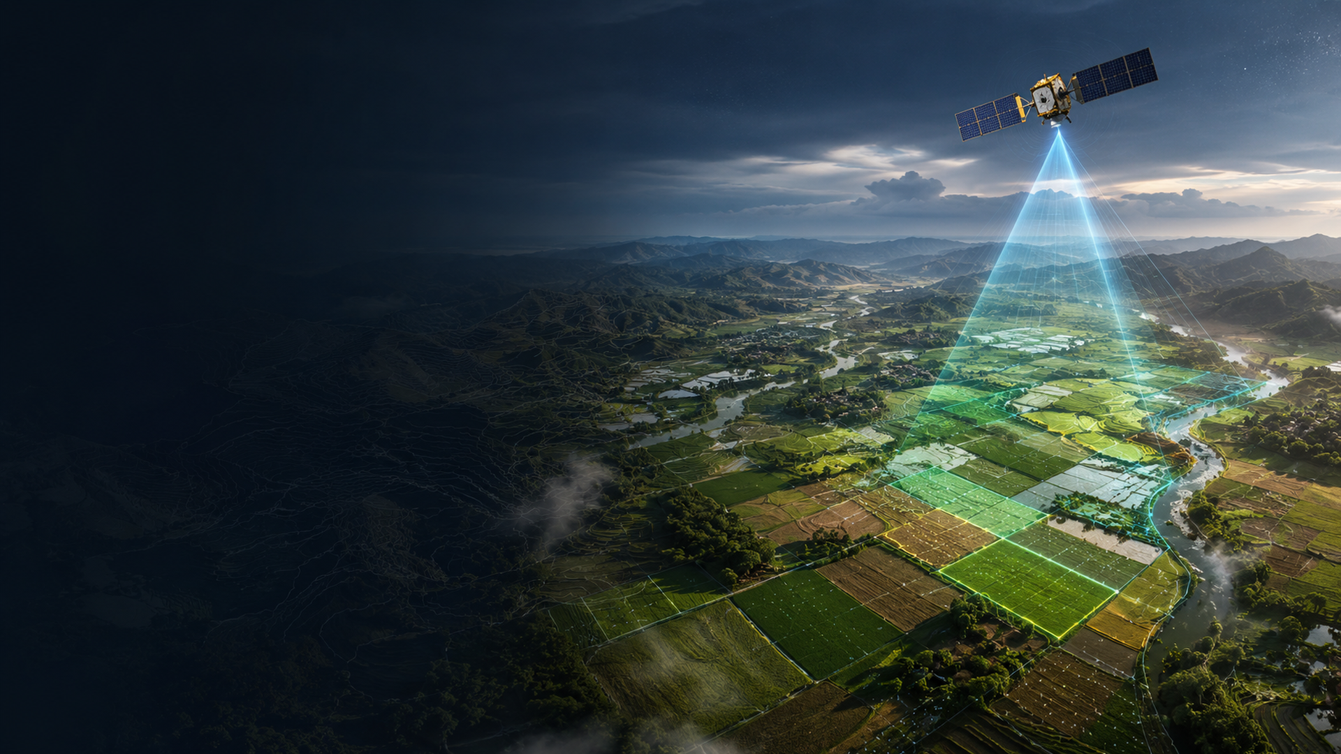
Field Boundaries Become Data, but Land Does Not Become Simple
Satellite remote sensing is pushing agriculture into a very tempting era. In the past, to know what happened in fields one had to rely on farmers walking into them, technicians going onsite, and local units checking each plot individually. Now, multispectral satellites like Sentinel-2 can continuously provide surface imagery, while radar data fills another perspective even under cloud and rain interference. Combined with machine learning, field boundaries, crop growth trends, drought stress, flood marks, and yield trajectories can quickly become layers on dashboards. For policy units this feels like finally having a pair of glasses dropped from the sky.
But glasses are not brains. Field boundaries drawn out by algorithms do not mean land becomes simple. Farmland is not only vegetation indices; it also involves tenancy relations, crop rotation experience, waterway allocation, hillside use, family labor, wildlife, cultural festivals and market prices. Satellites can see chlorophyll changes but cannot understand why Grandma planted one less plot this year; models can estimate regional yields but may not know that after a farm road breaks down fertilizer simply cannot get in. The more beautiful the data, the easier it is for distant people to mistakenly think they already understand local realities.
The Temptation of Global Field Boundary Maps
In recent years researchers have continued attempting larger-scale global field boundary identification and open agricultural data integration. Such data are attractive because field boundaries are an important basic unit of agricultural governance. With only rough pixels, policy cannot know which plot, which management unit, or which irrigation system is changing; with boundaries, insurance, subsidies, disaster loss assessment, food security, and precision agriculture can become more detailed. For open science this represents an important infrastructure. Many countries have lacked consistent, comparable, or accessible farmland boundary data in the past, so global-scale datasets help lower research thresholds.
However, the more basic the data, the greater the need for governance. Field boundaries are not neutral lines. They may involve land rights, tenancy arrangements, subsidy eligibility, sensitive crops, local industry intelligence, and even Indigenous Peoples' traditional domains and cultural landscapes. When a global dataset draws local fields as downloadable polygons, users could be researchers or investment companies, insurance firms, platform service providers, grain traders, or even land speculators. Open does not mean harmless. This is not about locking all data away but reminding: open science that only talks FAIR without addressing power easily turns places into raw materials for remote innovation.
The First Question a Geography Teacher Asks: Where Is the Scale?
Co-author 李文驤, as a geography teacher, is best suited to pull this topic back to the most basic and often overlooked by tech narratives question: where is the scale? A satellite image without clear statements about resolution, capture time, cloud cover, classification methods, error ranges, and ground validation easily leads students to mistake images for truth. The important task of geography education is not having students memorize more terms but knowing how maps manufacture worlds. Field boundary data are also a kind of map; once entering policy they become institutional tools that may affect subsidies, insurance, and disaster loss recognition.
Geography classes can teach students to look at NDVI and should also teach them to doubt NDVI; can teach Sentinel-2 spectral bands and should also teach "places covered by clouds are not non-existent"; can teach how global field boundary data help food security and should also teach what power differences arise when data land. If future Indigenous high schools or local schools combine satellite remote sensing with on-site field investigations, students will not just passively view the world but learn to question cloud models using their own landscape experiences. This kind of geography education is closer to the core of agricultural resilience than simply teaching platform operations.
Indigenous Township Public Services Need Remote Sensing, But Not Being Remotely Controlled
For Indigenous townships and mountain agriculture, satellite remote sensing indeed has practical value. After typhoons road interruptions, slope collapses, farm loss estimates, irrigation anomalies, pest spread, forest changes, and water source status can all be preliminarily read through remote sensing acceleration. Local township offices and farmer organizations gaining concise layers can certainly help response efficiency. This is not romantic "technology going down to the countryside" but a tool public services should have supplemented.
The key lies in authority. If all data are collected by external platforms, interpreted by external models, explained by external consultants, locals end up with only a map already concluding for them; then remote sensing is not empowerment but rather a more polite form of remote control. Indigenous township public services need data processes that can be used, questioned, supplemented, and corrected locally. Farmers know where fog often forms, hunters know which mountain gullies are dangerous after rain, elders know past uses of certain plots—these are not model errors but ground truths the models have yet to learn.
CARE Principles Remind Us: Data Also Has Relationships
The CARE principles for Indigenous data governance—Collective benefit, Authority to control, Responsibility, and Ethics—are well-suited for remote sensing discussions. Satellite data seem obtained from space as if not touching individuals or entering homes, thus often mistakenly thought to have fewer ethical issues. But land, crops, water sources, and cultural landscapes are never ownerless images. For many Indigenous communities environmental data may connect with traditional knowledge, ritual spaces, gathering sites, hunting grounds, ancestral place names, or taboo areas. Even at low resolution, once data cross-reference other datasets they can reveal sensitive information.
Therefore a responsible agricultural remote sensing system cannot only ask whether data can be open but must also ask who it is opened to, for what purpose, whether locals can refuse, how errors are corrected, and how benefits return to the community. If data are used for commercial models, do locals know? If models judge farm losses insufficiently, can farmers present counter-evidence? If field boundary data link with subsidy systems, whose responsibility is it when boundary errors cause loss? These questions are no less important than algorithmic accuracy because the core of public service is not drawing maps accurately but making institutions accountable to people.
Pulling Cloud Dashboards Back to Ground
Agricultural resilience is often described as a set of high-tech terms: smart sensing, digital twins, AI prediction, satellite monitoring. These tools may be useful, but resilience is not decorative words on dashboards. True resilience means when typhoons come locals know which road breaks first; when droughts prolong farmers know how to adjust water sources; when market prices collapse communities know how to disperse risk; when data err institutions have channels to hear ground rebuttals. Satellites provide perspectives, not all answers.
If Taiwan wants to develop Indigenous township agricultural resilience data systems it should start with co-design. First, let local units, farmers, and tribal organizations participate in designing data fields rather than being invited only at the end for results presentations. Second, establish data classification: what can be open, what is for local response only, what involves sensitive cultural or land information unsuitable for public release. Third, keep model outputs interpretable and appealable, not treating risk scores as administrative rulings. Fourth, cultivate local youth as data translators rather than always relying on external consultants. Fifth, return data results to locals including layers, reports, lesson plans, and decision tools instead of only becoming papers and corporate presentations.
Conclusion: From Seeing to Mutual Seeing
The most fascinating aspect of satellites is that they let us see massive changes across Earth's surface. But public governance cannot stop at "I see you." A better state is "we mutually see": scientists see local experiences, locals see data limitations, policy sees power asymmetries, platforms see their responsibilities. When field boundaries are drawn out by AI, that line not only separates crops but also divides different governance imaginations. It can become a tool for subsidies, insurance, disaster response, and food security; it may also become a tool for external monitoring, commercial extraction, and administrative misjudgment.
The future of agricultural remote sensing should not only have higher resolution but also higher-resolution ethics. Land is not pretty colored blocks on cloud dashboards but places where people live, labor, remember, and fight for futures. After satellites see field boundaries the real question begins: can we establish a system that lets those seen decide how they are understood?
Sources retained from the Chinese original
AI use and content-safety disclosure
This article was assisted by AI for data organization, structural drafting, and sentence polishing; human editors set viewpoints and fact-checking directions