Volcanoes Are Not World-Ending Special Effects: How AI, Satellite Thermal Imagery, and Cities Learn to Coexist with Volcanic Risk
Original Chinese title: 火山不是世界末日特效:AI、衛星熱影像與城市如何學會與火山共存
Volcanic warning is not a disaster movie—it is the long-term work of earthquakes, gases, ground deformation, thermal imagery, local trust, and public governance combined.
Lawrence Lee | Technology Journalist, Science Fiction Critic, and Space Science Educator
Lawrence Lee is a technology journalist, science fiction critic, and space science educator who has long focused on space science, Earth observation, civilizational risk, and public science narratives.
I. Volcanoes Are Not Movie Scenes but a Stress Test of Governance Capacity
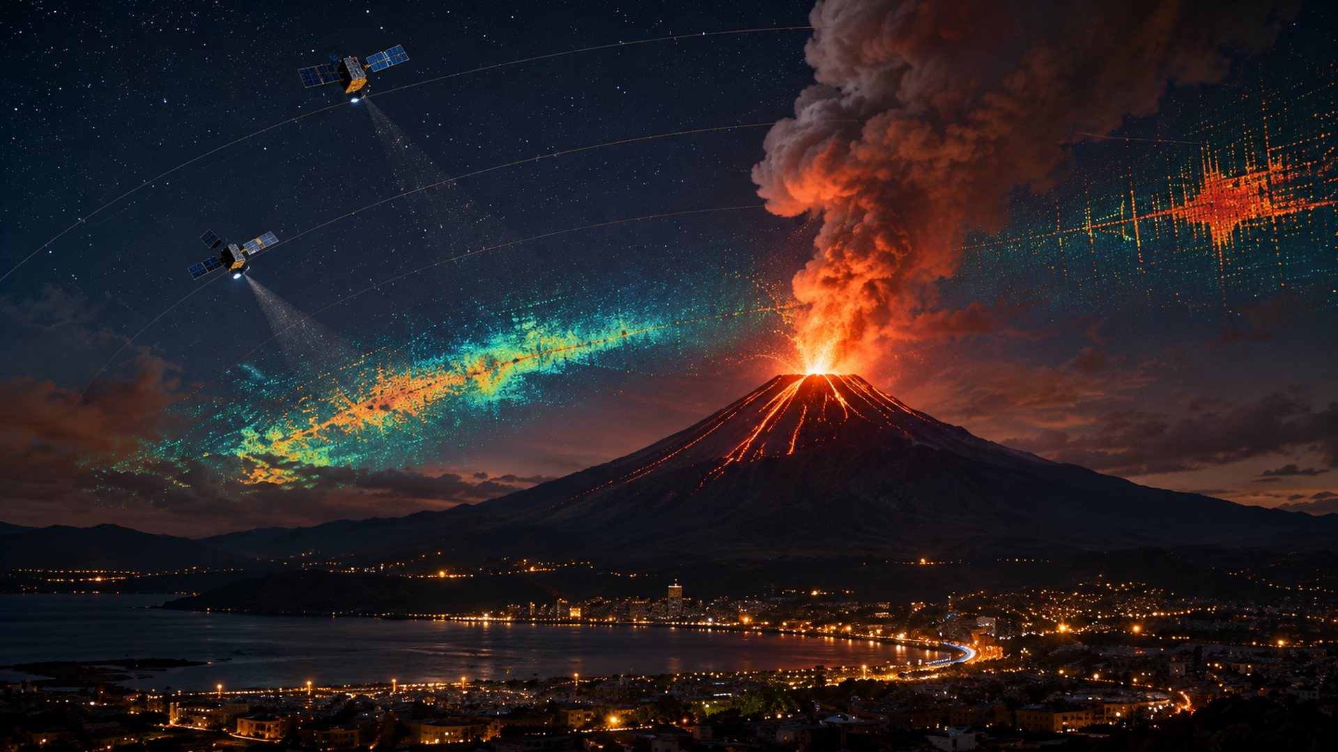
When the public talks about volcanoes, disaster movies immediately come to mind: red lava flows, black smoke columns, panicked tourists, and officials who only wake up in the final minutes. This narrative is thrilling but easily leads people to misunderstand volcanic risk as something that exists only at eruption time. In reality, what most determines casualties and losses is not how dramatic a volcano appears, but whether cities are willing to invest in monitoring, information integration, drills, risk communication, and evacuation routes during normal times. Volcanoes are not world-ending special effects; they are more like long-term exams: each swarm of earthquakes, each change in gas emissions, each ground inflation or thermal anomaly is part of the test.
Volcanic monitoring is difficult because it does not feel as routine as weather forecasting nor as immediately obvious as an earthquake. Many volcanoes accumulate signals over weeks, months, or even years: microseismicity, ground deformation, changes in heat flux, increased volcanic gas emissions, and anomalous groundwater temperatures. Individually these signals may be ambiguous, but together they form a risk profile. The problem is that public systems often remain siloed—earthquakes go to the geological unit, ash plumes to the meteorological agency, road closures to local government, flight suspensions to civil aviation authorities—and what is most missing is a cross-departmental risk map that everyone can understand.
II. AI Can Help Identify Signals but Cannot Bear Political Responsibility
The most practical value of AI in volcanic monitoring is not "perfect prediction" but helping humans find noteworthy anomalies faster from massive datasets. Seismic waveforms can be classified by models, thermal anomalies compared automatically by algorithms, satellite imagery can extract anomalous pixels among thousands, and long-term trends can be organized with machine assistance. For monitoring personnel these tools genuinely reduce workload, especially as the number of stations grows and data volumes expand rapidly.
Yet AI's greatest danger lies precisely in its easy promotion as an authority that could "replace judgment." Even powerful models are built on past data, existing labeling rules, and specific volcanic cases. They may excel at recognizing one volcano's seismic signature but fail when applied to a different geological setting; they might detect thermal anomalies yet not distinguish between volcanic activity, wildfires, industrial heat sources, or cloud interference. Especially when packaged as simple red/green lights, public decision-making becomes more prone to laziness because people assume the signal itself is the answer.
The real question is: who announces an upgraded alert? Who demands resident evacuation? Who bears the economic and political consequences of false alarms? These responsibilities cannot be outsourced to algorithms. AI can help read signals faster but cannot take on the cost of delayed government decisions, nor repair trust fractures after erroneous alerts. Public safety is not automatically secured by outsourcing responsibility to a dashboard that looks professional.
III. Satellite Perspectives Are Fascinating but Fascination Often Leads to Misuse
Satellite remote sensing is the most romantic yet easily misread component of volcanic monitoring. Looking at Earth from space carries an inherent civilizational narcissism: we seem finally high enough to see mountain ranges, vents, smoke columns, and thermal imagery clearly. In fact, satellites have made huge advances in volcanic governance. Thermal anomalies, ground deformation, ash transport, vent temperature changes—all provide clues difficult to obtain from ground-based monitoring through different sensors and time-series data. Especially when the vent is dangerous, terrain remote, or ground instruments damaged, satellite becomes a critical backup perspective.
However, the charm of satellite data often becomes a source of misdirection. Colorful heat maps and dynamic light bands are eye-catching on social media, but attention does not equal accuracy. Thermal anomalies do not necessarily indicate volcanic eruptions; ash plumes do not always represent the same risk level; ground deformation requires long-term comparison and expert interpretation. When images lose context and retain only color and headlines, they can be easily used to manufacture fear. Modern society is adept at treating scientific imagery as authoritative decoration but unwilling to spend time understanding image limitations. Thus a visually appealing satellite image can sometimes be more dangerous than an honest monitoring report.
IV. Volcanic Ash Is More Like the Enemy of Modern Cities Than Lava
People usually fear lava, but for modern cities ash is often the first problem that arises. Ash disrupts aviation, contaminates water supplies, damages mechanical equipment, affects respiratory health, and can crush roofs or agricultural facilities. Unlike lava's straightforward danger, ash resembles civilization's true adversary: fine-grained, diffuse, obstructing everywhere. Global supply chains depend heavily on aviation and precision equipment; a volcano need not swallow an entire city to ground airports, damage agriculture, halt tourism, and drive up insurance costs. This risk is distinctly modern and awkward because it reminds us that what civilizations fear most are not big explosions but the fine dust that leaves obstacles in every link.
Therefore volcanic governance cannot simply ask "will it erupt?" It must ask where ash will go, how flight paths should adjust, whether medical facilities have adequate filtration equipment, how agricultural losses are compensated, how schools convey information during closures, and how residents receive understandable, actionable alerts. These questions are not thrilling but closer to governance reality than disaster movies. Truly effective disaster prevention is not about capturing the most shocking images but ensuring that seemingly boring processes actually function when crisis strikes.
V. The Core of Volcanic Governance Is Social Trust
No matter how precise monitoring systems become, they ultimately return to an old question: do residents trust? If alerts are too frequent, messages contradictory, and compensation insufficient, residents may grow increasingly indifferent to evacuation orders; if drills are lacking, even accurate models during real events will only generate remote anxiety. Volcanic governance is not merely a scientific problem but also a public communication challenge. Information that is too technical remains incomprehensible; information oversimplified risks obscuring uncertainty. What is needed in between is mature risk language: honestly admitting what we do not know, clearly stating what we do know, and synchronously explaining the next action plan.
For readers in Taiwan, volcanoes may not feel as routine as earthquakes or typhoons, but volcanic alert experience offers lessons for all disaster governance: do not worship single indicators, do not treat AI as a judge, do not let beautiful images override local knowledge, and do not wait until crisis approaches to build trust. Science and locality are not substitutes. Mature governance places geological observation, satellite data, local road experience, evacuation sites, and community memory on the same table together forming actionable public knowledge.
VI. Civilization Is Not About Conquering Volcanoes but Learning to Coexist Honestly with Risk
Volcanoes never intend to align with human schedules. They will not become gentler because monitoring stations upgrade nor stop being uncertain because AI is powerful. True civilizational progress lies not in fantasizing complete control over nature but in admitting we cannot fully control it while still striving to improve monitoring, alerts, evacuations, compensation, education, and trust. This progress lacks movie special effects and rarely goes viral on social platforms, yet it determines whether a city panics or retains choice when crisis arrives.
Volcanoes are not world-ending special effects; they are more like mirrors reflecting how a society understands risk, science, and public responsibility. AI helps us see volcanoes faster, satellites let us stand higher, but ultimately institutions and human hearts decide: are we managing risk or our own illusions.
Sources retained from the Chinese original
AI use and content-safety disclosure
This article was assisted by AI for data organization, structural drafting, and sentence polishing; human editors set the viewpoint and fact-checking direction