Forests Are Not Green Tablecloths: How Satellite Remote Sensing Reads Resilience—and Why It Misses Indigenous Silence
Original Chinese title: 森林不是綠色桌布:衛星遙測如何讀出韌性,也如何讀不出部落的沉默
Satellite remote sensing is turning forest resilience into globally trackable indicators, yet image resolution does not equal social understanding. Without local observation, cultural boundaries and data governance, even the most precise green layers may become merely scientific-looking overviews.
Two-Eyed Seeing Lab
Focusing on Indigenous knowledge, digital technology and public policy to observe AI, data governance and Two-Eyed Seeing practice; advisory committee: 高德生 | Tsou ceremonial ecology expert, hunter school and cultural historian / author of The Plants and Animals of the Tsou People.
I. Forests Are Not Background—They Are Responsive Systems
Modern people have grown accustomed to viewing forests as green tablecloths. On urban planning maps, they appear as conservation zones; in climate reports, as carbon sinks; and in news photographs, as backdrops for wildfires, deforestation or post-disaster recovery. Yet forests are never merely background. Forests are systems composed of water, soil, wind, mycorrhizae, insects, birds and mammals, canopy layers, microclimates and human activities. They do not only suffer destruction; they also resist, adjust, collapse and recover. Their resilience is not a pretty environmental slogan but the capacity to maintain function and reorganize life relationships after stress.
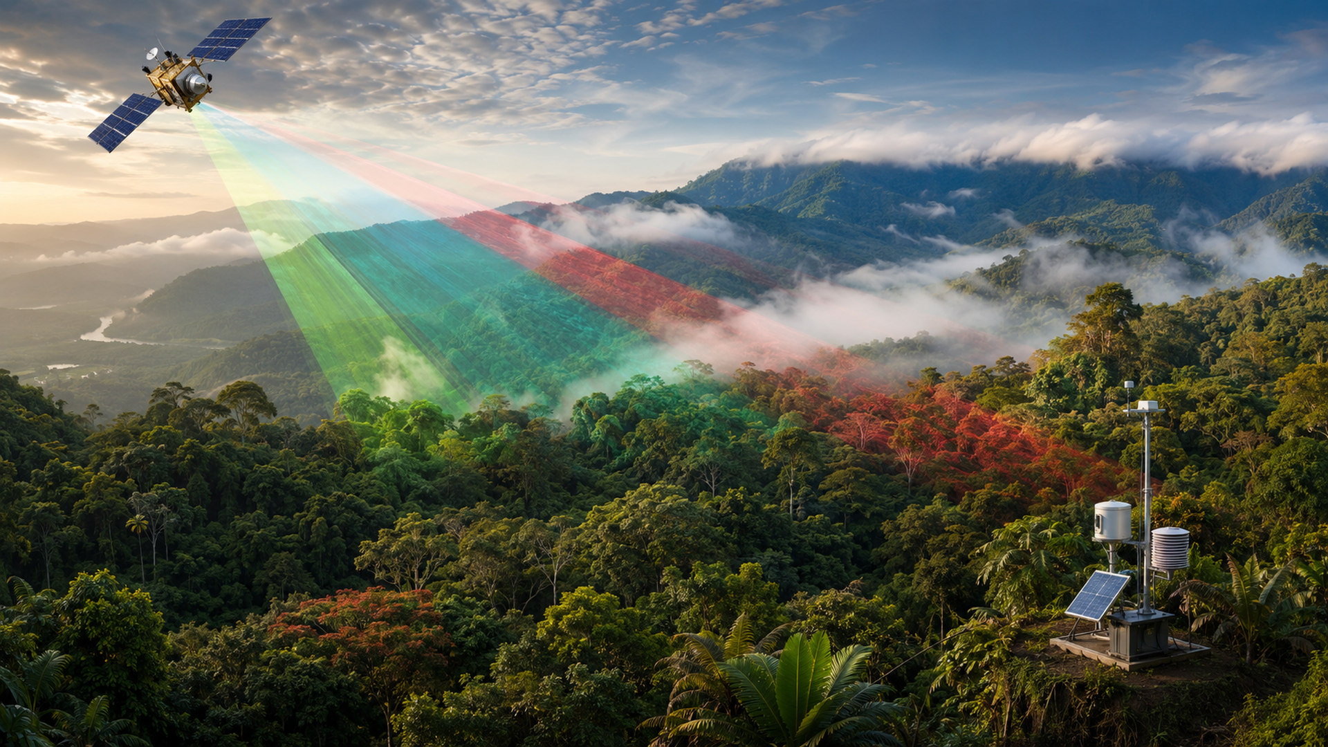
Satellite remote sensing has given humanity the first opportunity to track these changes at global scale. Multispectral, thermal infrared, radar, LiDAR and sun-induced chlorophyll fluorescence data help scientists estimate canopy condition, vegetation structure, productivity, water stress and recovery speed after disturbance. These technologies have moved forests beyond a simple “cut or not cut” binary into finer ecological signals: where drying is progressing, where canopy structure thins, where greenness persists but function has already become imbalanced.
Yet the more precise the eye, the greater the need for humility. Satellites can see large-scale change but do not automatically understand local history. They may detect canopy cover without recognizing taboos; they may measure surface temperature without knowing why a mountain path is closed after a ceremony; they may map forest fragmentation without understanding what role that area plays in Indigenous place names, hunting trails, kinship memories and disaster experience. Treating satellite data as the sole truth risks turning forests back into tablecloths—only with higher resolution.
II. The Ambition of EBV: Turning Biodiversity into a Governable Language
Recent international biodiversity governance has increasingly emphasized essential biodiversity variables (EBVs), often translated as “basic biodiversity variables” or “key biodiversity indicators.” Its goal is clear: if the world must track biodiversity change, it cannot rely on scattered species surveys, protected area reports or annual slogans. It needs a variable framework that can be compared across regions, over time and among data sources. Satellite remote sensing provides exactly this large-scale data foundation.
A recent Nature Reviews Biodiversity review notes that remotely sensed EBV proxy indicators have improved our understanding of tropical forest resilience. Multispectral imagery tracks vegetation condition; thermal imaging reveals water and temperature stress; radar penetrates clouds and some canopy structure; LiDAR delivers three-dimensional forest architecture; sun-induced chlorophyll fluorescence captures photosynthesis-related signals. These data layers together transform forest resilience from an abstract concept into a continuously monitored signal network.
Yet the review also cautions that these indicators still suffer scale dependence, observation bias and insufficient mechanistic explanation. In other words, satellites excel at telling us “where things have changed” but cannot alone answer “why they changed” or “what those changes mean for people.” Species replacement, functional reorganization, local disturbance history, community use norms and land rights conflicts may hide beneath beautiful color gradients. The most dangerous moments in science often occur not when data are scarce but when there is so much that we mistakenly believe we no longer need to listen.
III. Two-Eyed Seeing Is Not About Pasting Indigenous Stories Beside Satellite Maps
When discussing Indigenous knowledge and satellite remote sensing, the cheapest approach is decorative: high-tech imagery on one side, a paragraph of “ancestral wisdom” on the other, concluding that both are important. This writing style is safe but empty. True Two-Eyed Seeing does not merely place Indigenous stories beside satellite maps; it allows both knowledge systems to reshape the questions themselves.
For example, remote sensing teams might ask: “Which forest blocks recover more slowly after drought?” Local knowledge could counter: “Do your defined forest blocks cut across traditional place names and use boundaries?” Scientists may seek “anomalous hotspots,” while Indigenous elders know those are long-exposed landslide scars, seasonal harvesting routes or places that should not be publicly marked. Governments might want to publish risk layers on open data platforms, yet communities could demand sensitive locations be blurred, delayed or released only under specific governance mechanisms.
This is not anti-science; it brings science closer to reality. For satellite data to serve disaster resilience, forest conservation and Indigenous township public services, we must acknowledge: data resolution does not equal governance legitimacy. Especially on Indigenous traditional territories, cultural landscapes and biocultural resources, the location itself may carry cultural meaning. Publishing a coordinate sometimes means opening a door that outsiders should not arbitrarily open.
IV. Monitoring Forests Also Means Monitoring Power
Remote sensing is often described as neutral, yet tools never decide for themselves who can see, download or interpret them—and who therefore faces penalties. If forest monitoring serves only central administration, it risks becoming another form of overhead governance; if it serves corporate ESG reporting, local life may become a carbon ledger backdrop; if it serves academic papers, we may end up with elegant models that never return to improve local decisions.
Therefore, forest resilience monitoring must simultaneously track power flows. First, before data acquisition, confirm land rights, community consent and sensitive information classification. Second, during model building, incorporate ground surveys and local observation to avoid misinterpreting clouds, slope aspect, seasonal use or small-scale canopy changes as problems. Third, when publishing results, provide tiered visibility: public summaries can be open, but sensitive coordinates and details should be decided jointly by communities. Fourth, policy application must not equate remote sensing layers directly with enforcement evidence or evacuation judgments; they must be cross-calibrated with on-site confirmation, official alerts and local reports.
These requirements may seem cumbersome, yet they represent the lowest cost of preventing technology abuse. Remote sensing without governance is like a bright light shining into the forest: it may illuminate danger but also blind people’s eyes.
V. The Real Question of Indigenous Resilience: Who Can Turn Data Into Action
For Indigenous townships, forest resilience does not exist only in international reports. It concerns water sources, farm roads, landslides, wildlife, traditional harvesting, community safety and local industries. If satellite remote sensing integrates with rainfall, water levels, road closures, drone patrols, community reporting and local knowledge, it can help build a finer-grained risk radar: where priority field inspections are needed, which roads should be closed after torrential rain, which slopes require long-term monitoring, and which agricultural settlements need early adjustments to crops and water management.
Yet data must become action beyond platform launch. Local township offices, Indigenous community organizations, schools, agricultural associations, ranger teams and researchers all need interfaces that are readable, reportable and correctable. The best system does not passively deliver a centrally generated map but enables communities to say: “The model misread here,” “This place name should not be public,” “This road is already impassable,” or “This warning must be explained in both Indigenous language and Chinese.” This back-and-forth correction is the daily practice of Two-Eyed Seeing, not merely a conference buzzword.
VI. Seeing More Does Not Mean Owning More
Advances in satellite remote sensing are exciting. They allow earlier detection of forest stress, more precise assessment of conservation outcomes, and honest confrontation with ecological vulnerability under climate change. Yet any technology that enables us to see more must simultaneously learn to take less: less unconsented cultural context, less unnecessary sensitive coordinates, less authoritative postures that local communities cannot challenge.
Forests are not green tablecloths; Indigenous peoples are not mere data footnotes. Mature remote sensing governance will make satellites, sensors, research models, local memory and community rights work together. It neither romanticizes tradition nor deifies technology; it acknowledges the usefulness of the sky’s eye while recognizing that some things must be understood slowly—on mountain trails, in meeting rooms, between Indigenous silence and consent.
Sources retained from the Chinese original
AI use and content-safety disclosure
This article was assisted by AI for data organization, structural drafting and sentence polishing; human editors set viewpoints and fact-checking directions