The City Underground Is Not Empty: Ground-Penetrating Radar, Digital Twins, and the Need to Renegotiate Development Timelines
Original Chinese title: 城市地下不是空白:地中雷達、數位孿生與開發速度如何重新談判遺址
Ground-penetrating radar, 3D scanning, and digital twins allow cities to examine what lies underground before excavation, but visibility does not guarantee protection. The decisive questions are when evidence enters planning, who may interpret it, and whether development will slow down for history.
山海資料庫
Co-authors: 劉展瑞
山海資料庫 focuses on local history, urban landscapes, cultural heritage, and spatial data. Co-author 劉展瑞 is Atayal and works with the Taiwan Association for the Promotion of Welfare of Persons with Disabilities; his long-term interests include local governance, public services, and social issues affecting Indigenous Peoples.
# The City Underground Is Not Empty: Ground-Penetrating Radar, Digital Twins, and the Need to Renegotiate Development Timelines
Cities are adept at imagining the ground beneath them as a silent blank. Metro lines must pass through it, pipes must be buried, foundations excavated, and parking structures built, so the underground is treated as unused space. Then a shovel strikes an unusual soil layer, wall foundation, grave, pottery sherd, charcoal deposit, or old road surface. Work stops, and society remembers that the underground was never empty; it was simply less able than the surface to contest our plans.
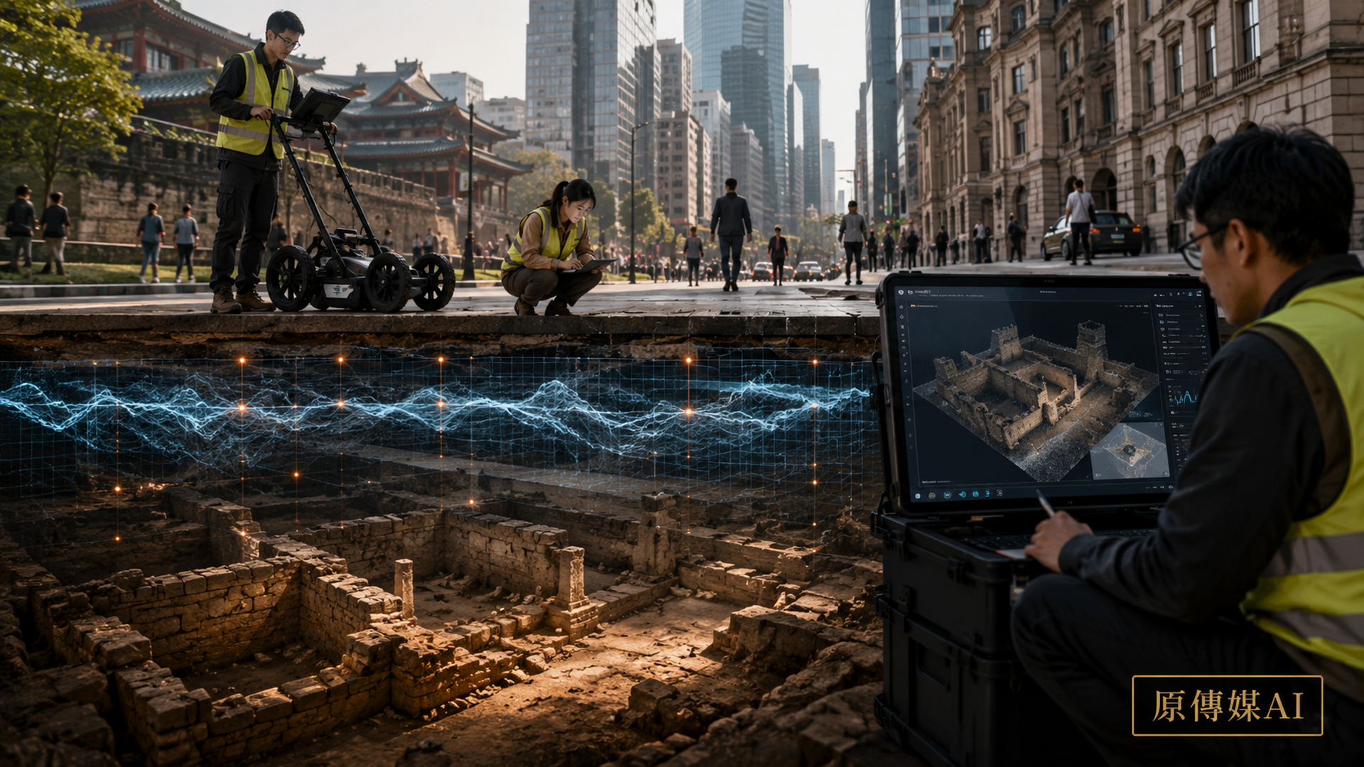
Ground-penetrating radar, electrical-resistivity survey, LiDAR modeling, 3D scanning, and digital twins are now changing urban archaeology and the management of development. Their appeal lies in the possibility of “seeing first and digging later.” Project owners want earlier warning of risk; cultural-heritage agencies want earlier identification of sites; local governments hope to reduce scheduling conflicts; and researchers seek a fuller record of the buried city. Technology appears to offer competing parties a more rational process: instead of discovering a site by accident, they can begin negotiation with evidence already in hand.
That promise also contains the central problem. When technology enters archaeological governance, negotiation may begin earlier without becoming fairer. Urban archaeology has never been only about whether evidence exists; it is about who may use that evidence to set timelines, allocate costs, and define the scope of preservation.
Ground-Penetrating Radar Is Not an Underground Camera
Media reports often describe ground-penetrating radar as an X-ray of the earth, as though moving the instrument across a site would immediately produce labels reading “ancient wall here” or “tomb below.” In reality, radar emits electromagnetic waves and receives reflection differences caused by different materials and moisture states. Hyperbolas, layers, and other anomalies in a radargram must be interpreted through knowledge of soils, geology, architectural history, site conditions, and archaeology. Underground pipes, tree roots, backfill soil, gravel and modern building materials can all produce similar signals.
This uncertainty is not technological failure; it is the inherent complexity of the urban underground. The problem arises when decision-makers demand a 100% answer that does not exist: if they cannot prove there must be a site, construction proceeds as usual; if they cannot draw a complete range, impact is deemed limited. This reverses the burden of risk: cultural heritage must prove that it deserves to survive, while a development project need not show that it will avoid irreversible harm.
A more reasonable approach treats non-destructive surveying as a tiered decision tool. High-risk anomaly zones should undergo further test excavations, design adjustments or monitoring; data-deficient areas must be marked with uncertainty rather than painted green as safe; archaeological assessment should be integrated into schedules and budgets before development begins, not blamed on cultural heritage "suddenly appearing" after engineering delays. Archaeological sites do not suddenly appear; institutions suddenly become unable to ignore them.
Digital Twins Can Preserve Urban Form, but Not Urban Relationships by Default
Digital twins have become a favored term in urban governance. Combining data on buildings, roads, terrain, utilities, traffic, and the environment in a 3D model appears to give a city an avatar that can be rotated, simulated, and used for prediction. If underground archaeological layers are added, it can assist engineering avoidance, risk assessment, display historical strata, and help the public understand rivers, settlements or walls that once existed beneath today's neighborhoods.
But digital twins can also become elegant forgetting tools. The familiar pattern is to scan a site in full, declare it “digitally preserved,” and then demolish the physical remains. This is like filming a high-quality documentary of an old tree about to be cut down and using the film as compensation. Digital models preserve shape, location and partial information; they cannot replace materiality, sense of place, ritual relationships, land rights and community memory.
Three-dimensional scanning should therefore inform preservation decisions, not serve as an added benefit attached to permission to demolish. Models must also record uncertainty and data sources, avoiding rendering that is too complete so speculation looks like fact. For the public, the most deceptive quality of an archaeological reconstruction may be its visual polish: missing walls are filled in, vague dates are colored, disputed uses become navigable spaces; finally people forget what is evidence and what is imagination.
Urban Archaeology Is Not Only About Palaces; It Restores a Place for Ordinary Lives
Media favor major discoveries: ancient cities, royal tombs, temples, gold and lost civilizations. What truly changes historical understanding in urban archaeology are often less conspicuous things—drainage ditches, food residues, workshop waste, children's toys, rental partitions, temporary settlements, traces of demolished markets and marginal communities' lives. They make city history written not only by rulers, architects and real estate developers.
Taiwan’s urban landscape also contains many layers of time: the traditional territories of Indigenous Peoples, Qing-era streets and villages, Japanese colonial infrastructure, postwar military dependents’ villages, industrial clusters, engineered river channels, and rapid urbanization all overlap. If archaeological systems only activate when "old enough, complete enough, beautiful enough" structures are found, many modern social histories will be judged unworthy of preservation. Cultural heritage is not a contest to determine what is oldest; it is a social decision about which experiences enter public memory.
This also means local residents should not receive meeting notices only after construction fences go up. Residents' oral accounts, old photographs, place names, ritual paths and life memories can help interpret instrument anomalies and point out landscapes invisible in official data. Technology supplies subsurface signals; communities contribute meaning. Neither is sufficient on its own.
Technology Is Not Neutral; Its Place in the Decision Process Matters
If ground penetrating radar enters after engineering tendering, its function is often just reducing stoppage risk; if it intervenes early in urban planning and design phases, it may truly influence site selection, foundation forms and public space arrangements. This shows technology's value depends not only on resolution but also on its position within institutional processes.
The UNESCO World Heritage Centre and ICOMOS have long emphasized that preserving historic cities does not mean freezing development; it requires development to see cultural landscape continuity. This reminds us urban archaeology is not just protecting "antiques" but preserving a society's willingness to negotiate with the past.
CyArk and other digital cultural preservation institutions also demonstrate that 3D modeling need not be merely substitutes; it can become part of preservation, research and public communication. The condition is that digitization must not become a convenient moral exit: scan first, demolish later, and then claim that history was preserved. That is not preservation; it is a high-definition farewell.
Disability and Public Accessibility Must Be Part of Urban Archaeology
Urban archaeology and digital preservation usually focus on sites themselves, but whether public display and education are accessible is also part of cultural governance. If digital twins exist only as expensive virtual-reality displays, they may once again exclude blind and low-vision visitors, Deaf and hard-of-hearing visitors, and people with limited mobility. True public cultural technology should include subtitles, audio description, tactile models, low-bandwidth versions, wheelchair-friendly routes and operable text alternatives.
Cultural heritage is not the private reading of a few experts nor the photo background for tourists. When a city claims to preserve history, it must also ask who can actually encounter that history, who is excluded from its presentation, and whose body is treated as the default visitor.
Digital technology earns public value when it allows more people to encounter archaeological sites in different ways. Otherwise even an exquisite model may be only a polished urban collectible that a few people can rotate on screen.
Conclusion: A Truly Advanced City Knows When to Slow Down
The speed of construction is often treated as evidence of administrative competence, while delay is framed as failure. But for irreversible cultural heritage, slowness is not the enemy of efficiency but insurance against permanent errors. If cities integrate historical data, non-destructive surveying, archaeological risk zoning and community consultation early in planning, they can reduce stoppage conflicts and temporary change costs.
Ground-penetrating radar and digital twins cannot make value judgments for us; they only make invisible things harder to deny. Ultimately institutions must answer: is a wall base worth preserving? Who has the right to name sites? Who owns the data? How are development interests and public memory allocated?
The city underground is not empty; it has simply remained outside the field of vision of those with decision-making power. If technology can bring history into meeting rooms earlier, that is already progress; but if meeting rooms treat it only as a risk layer to be eliminated, even high-resolution radar is just improving bulldozer navigation.
Sources retained from the Chinese original
AI use and content-safety disclosure
This article was assisted by AI in data organization, structure drafting and sentence polishing; human editors set viewpoints and fact-checking directions