Can Existing Fiber Hear a Mountain Move? DAS Is Turning Cables into Earthquake and Landslide Sensor Networks
Original Chinese title: 既有光纖也能聽見山在動?DAS 正把纜線變成地震與崩塌感測網
Distributed Acoustic Sensing uses minute strain changes along a fiber to create a dense sensor array. Research now covers typhoon-driven slope disturbance, ground fissures, and rapid P-wave classification, but road patrols and local landscape experience remain essential for calibration.
山海資料庫
Co-authors: 李文驤
Shanhai Database; co-author 李文驤 is a geography teacher at Catholic Daren High School.
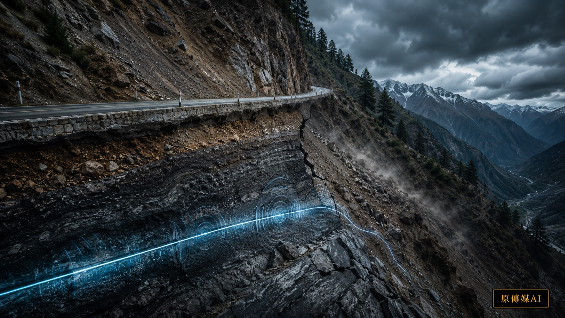
Fiber installed or suspended along a mountain road was originally meant to carry telephone, internet, and other data at high speed. Distributed Acoustic Sensing, or DAS, turns this data line into a long sensor that responds to minute deformation along its route. An instrument sends laser pulses through the fiber and analyzes changes in the light scattered back, making it possible to estimate strain and vibration at different locations. This does not turn fiber into a perfect seismometer, but it can create dense, continuous measurement channels over a long distance, an attractive capability for monitoring earthquakes, slopes, traffic, and underground works.
A 2026 study in npj Natural Hazards on monitoring landslide disturbances with DAS places DAS directly in extreme-weather and landslide conditions. Its importance is not merely that it detected a landslide signal. It shows that pre-deployed fiber may act as an array for continuously observing slope events amid the high noise and rapid change of a typhoon. For mountain public services, this complements point instruments such as inclinometers, rain gauges, and surface-displacement sensors. A point sensor can measure one location precisely; DAS may help an operator see which section of a road begins behaving abnormally first.
Research summarized the same year by the U.S. Geological Survey on rapid earthquake magnitude classification with DAS applies the technology to rapid P-wave classification and magnitude estimation. Fiber participation in early warning is therefore moving beyond a concept demonstration. Yet it would be an overstatement to claim that every existing telecom fiber can become an earthquake-warning network. DAS measures strain or strain-rate components along the direction of the cable. Burial method, coupling to the ground, fiber type, bends, slack, conduit, and surrounding noise can all change data quality.
This distinction is particularly important on Taiwan's mountain roads. Telecom fiber, traffic-control cables, utility communications, or other buried lines may already follow a road, but the existence of fiber is not the same as the existence of fiber suitable for high-quality DAS. A cable floating inside a conduit, loose in places, or poorly coupled to the slope may respond weakly to small ground strains. A viable deployment should begin with fiber characterization: determine where each section runs, how deeply it is buried, how it is fixed, which geology it crosses, and which bridges, retaining walls, or recurrent hazard sites it approaches. Only then should operators decide which segment merits connection to an interrogator for a trial.
A 2026 Scientific Reports study on ground fissure detection with distributed fiber-optic sensing brings automated recognition and fissure-width quantification into the field. It points to a future constraint that is not simply whether a waveform exists, but whether that waveform corresponds to an event with engineering meaning. A display full of impressive space-time heat maps is not yet a public disaster-management tool if it cannot distinguish a passing truck, a rock impact, drainage scour, retaining-wall movement, construction drilling, and a growing slope fissure.
This is where local road-patrol knowledge can enter the system. People who inspect a route over many years often know which curve sheds small rocks after rain, where a retaining wall begins seeping after prolonged precipitation, and which pavement bulge may reflect groundwater or deformation at the slope toe rather than ordinary aging. If those observations remain in personal memory or paper records, they and the DAS waveforms will remain separate systems. A better method turns when, where, what happened, field photographs, and the outcome of the response into event labels attached to sensor data. When a similar waveform appears again, a model can offer a more useful anomaly prompt.
The complementarity between DAS and local knowledge is therefore not a romantic formula about technology and traditional wisdom. It is an engineering calibration process. Instruments provide continuous, densely spaced signals from milliseconds to seconds. People supply event semantics: the value is not simply “vibration 3.2,” but a sequence in which a shoulder began shedding rock after heavy rain, a drain clogged, water pressure behind a wall changed, and a visible crack emerged two days later. Once those meanings are aligned in time, researchers can identify the frequency bands and spatial patterns with warning value and separate them from traffic noise.
Work such as Scientific Reports research on DAS strain evolution for geohazard early warning also shows why strain evolution in soil-water systems must be interpreted physically. During intense mountain rain, rain impact, streams, vehicles, wind, construction, and moving gravel all become louder together. A warning threshold cannot rely on one fixed amplitude. It should combine spatial continuity, frequency characteristics, duration, rainfall, and known hazard locations. Public agencies also need distinct alert levels: a research anomaly, an inspection prompt, a traffic warning, and a road-closure decision should not collapse into one red light.
An initial demonstration on an Indigenous community's access road should not necessarily choose the most dangerous section if it has no usable infrastructure. A better candidate has workable fiber, complete hazard records, stable patrol staffing, and a bottleneck whose closure would significantly affect medical care, schooling, supplies, and communications. The demonstration should establish a repeatable method: measure a baseline, label rainy-season events, compare existing rainfall and displacement instruments, and only then consider automated warnings. Installing the system everywhere at once could produce a large volume of uninterpretable data and high maintenance costs.
Data governance cannot be ignored. Once a communications cable becomes a sensor, its waveforms may also record road traffic, construction, and some human-generated vibration. A public agency must define the purpose, retention period, access to raw waveforms, disaster-only restrictions, and conditions for sharing data with researchers. There is also a practical resilience limit: a typhoon that interrupts electricity or communications may prevent the DAS system itself from reporting. It must not become a single “super sensor” on which everything depends. Rain gauges, field patrols, satellites or radar, conventional displacement instruments, and human reports remain necessary.
The newsworthy part of “existing fiber can hear the mountain move” is not a technological spectacle but a reorganization of public infrastructure: the same cable may support communications and geophysical sensing. Translating research into mountain disaster prevention requires a less glamorous recognition that fiber quality, installation, data semantics, warning responsibility, and repair capacity matter more than merely connecting a DAS interrogator. Only when dense waveforms are calibrated against long-term landscape observation can the network begin to distinguish a moving mountain from a noisy one.
Road management also requires a baseline period that system designs often overlook. Continuous measurements during ordinary conditions must capture traffic, rain, construction, streams, wind, and temperature changes between day and night before an emergency occurs. The fuller the baseline, the easier it is to decide during heavy rain whether a newly appearing frequency band or spatially continuous signal is abnormal. A demonstration therefore cannot be installed only just before a typhoon. It should span ordinary days, a rainy season, maintenance work, and several small or medium events to create useful comparisons.
Public agencies must write an operating procedure for what happens after an anomaly is detected. At the first level, the system marks a place and time. At the second, staff compare rainfall, existing displacement instruments, and historic hazard points. At the third, patrol members inspect drainage, cracks, rockfall, and pavement. Traffic control should escalate only when multiple forms of evidence agree. If a patrol and DAS disagree, that result should be returned as training data rather than deleted as a failed detection. Over time, the system can learn which precursors genuinely matter on that road.
Cost assessments must also look beyond the interrogator's purchase price. Access to existing fiber, equipment-room space, backup power, data storage, remote maintenance, algorithm updates, cybersecurity, and field verification all create long-term expense. An Indigenous access road may carry little traffic yet have high public value because closure cuts off emergency care, education, and supplies; that value will not appear in a model ranked only by vehicle count. Demonstration indicators should therefore include detection accuracy, the extra time provided for inspection, avoided unproductive patrols, how quickly warnings reach local people, and whether established procedures can take over when the system fails.
Yuan Media AI | Continue with questions for your role
This feature provides four role-based entry points with five questions each, for a total of 20 follow-up exchanges. Readers can choose a role and explore prepared answers grounded in the article's sources, with research evidence, local governance, and unresolved limits presented separately.
Sources retained from the Chinese original
AI use and content-safety disclosure
This English version is an AI-assisted translation of a Yuan Media AI editorial feature and should be read together with the Chinese source article and cited public references.