The River Hasn't Become the Sea, but the Fish Are Living in 'Salt Water': Europe Reveals an Underestimated Map of Freshwater Salinization
Original Chinese title: 河水沒有變成海,魚卻開始活在「鹽水裡」:歐洲發現一張被低估的淡水鹽化地圖
The latest large-scale European study shows that freshwater salinization is far more complex than simple seawater intrusion: irrigation return flows, road de-icing salt, and industrial and mining activities all alter river ion composition. The true keys to governance are relative natural baselines, ion species, and actual ecological responses.
全明正
Ming-Cheng Chuan | Bunun, Shuanglong Indigenous community | Cultural and Visual Media Practitioner | Long-term focus on energy transition, materials technology, low-carbon supply chains, industrial policy, and local environmental governance
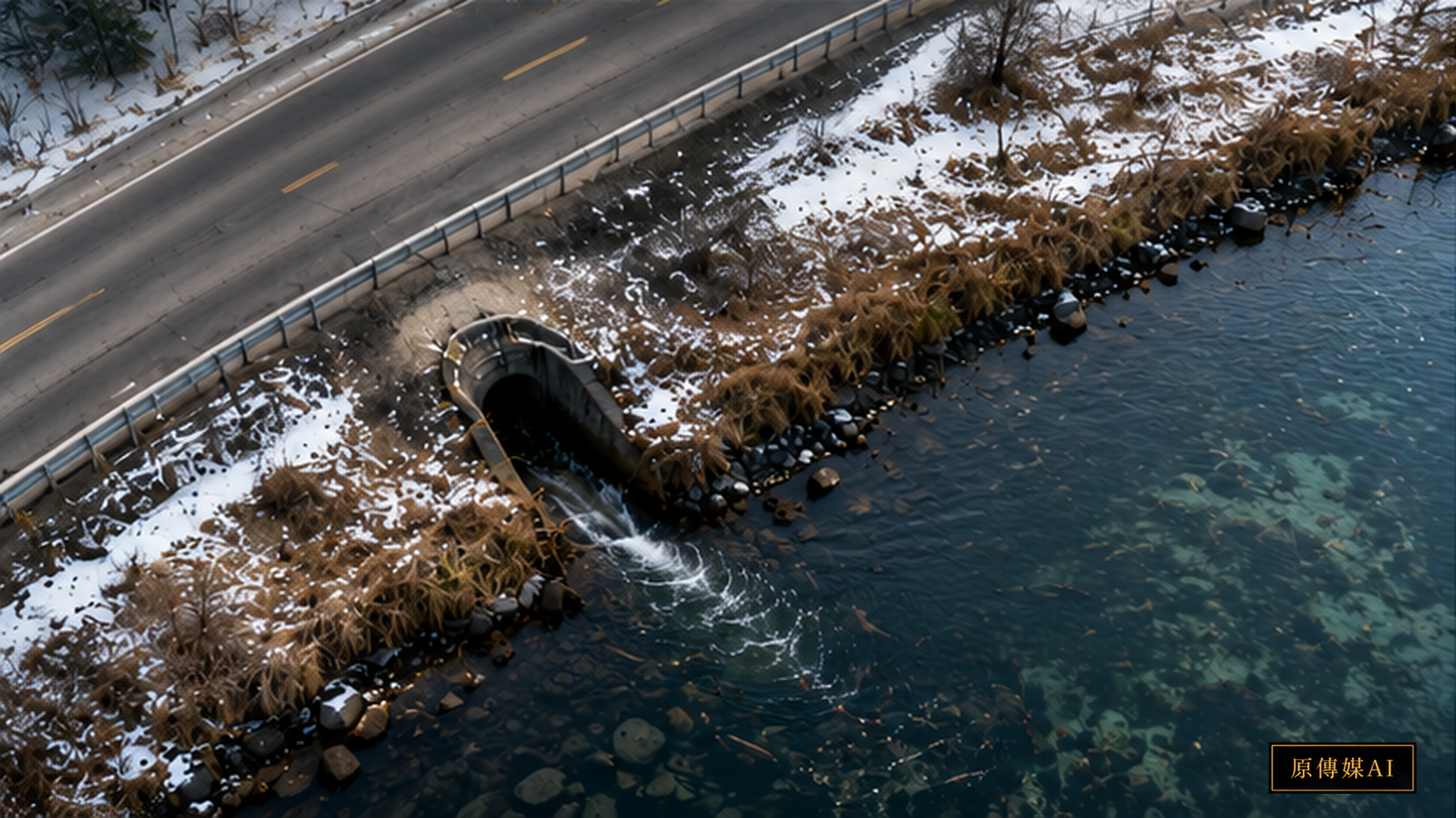
When a river turns salty, many people's first reaction is to think of seawater intrusion. But a large-scale European study published on August 20, 2026, in Nature Communications reminds us that freshwater salinization is actually a broader and far less visible problem. The study covered 35 European countries with available data; in 28 of them, some river sections showed salinity more than doubling relative to natural baselines. Over 23,000 kilometers of river network exceeded a conductivity of 1 mS/cm, potentially affecting aquatic communities, algal blooms, fish survival, and multiple water-use purposes. Nature Communications|Rivers of salt: the extent of salinization in European running waters
What is most noteworthy here is "relative to natural baseline." A river never has zero ions to begin with—geology, rainfall, evaporation, and groundwater all determine background conductivity. The real risk is not labeling any detection of salt as pollution, but rather whether the river's ion concentration and composition are gradually drifting away from their original ecological conditions. For streams that were originally low in salinity, even a seemingly modest increase can trigger changes in salt-sensitive aquatic insects first.
Research from the European Commission JRC fills in precisely this gap. Preparing European freshwaters for a saltier future points out that freshwater salinization threatens biodiversity, ecosystem integrity, and food and water security. Management cannot rely on a single universal salinity figure; it must simultaneously consider salinization drivers, macroinvertebrate responses, and the background conditions of different water bodies. European Commission JRC|Preparing European freshwaters for a saltier future
A Nordic road-salt study offers another concrete case. A 2026 JRC report notes that in Sweden and Finland, road salt makes a measurable contribution to freshwater salinization, and some biological responses occur at relatively low salinity levels. This means that thresholds set based on experience in heavily polluted areas may not be appropriate for naturally low-salinity systems. European Commission JRC|Effects of road salt pollution on stream ecosystems in Sweden and Finland
Road de-icing salt is only one source. Irrigation return flows can carry dissolved salts back into rivers; mining and industrial discharges can alter ions such as chloride, sulfate, and sodium; drought and high evaporation can further concentrate existing salts. Different sources have different chemical compositions and therefore different impacts on aquatic life and agricultural water use. Using conductivity alone as the sole indicator is convenient, but it may miss the critical information of which specific salt is increasing.
This is precisely where local users' observations can fill in the blind spots of instruments. Fishers may first notice that certain fish or aquatic insects are declining; irrigating farmers may first spot leaf-edge scorch on crops or salt crusts on soil surfaces; residents may detect changes in well-water taste during the dry season. These phenomena cannot directly prove salinization, but they can serve as important event tags for monitoring systems: When did conductivity begin to rise? Which river section's biota changed first? Does the timing overlap with road maintenance, industrial discharge, or irrigation seasons?
Two-Eyed Seeing here is not an abstract concept but a monitoring design. Instruments provide continuous conductivity, ion chemistry, and flow data; local observations provide fish conditions, irrigation responses, seasonal changes, and historical baselines. When the two do not align, neither side should be dismissed as wrong. For example, if instrument readings show little change but a particular insect group suddenly disappears, that may indicate the ecosystem is especially sensitive to a specific ion. Conversely, if residents feel the water tastes different, laboratory analysis may be needed to confirm whether the cause is salinization, algae, or some other chemical change.
For drinking water and agricultural governance, this also means different uses require different thresholds. Fish conservation, drinking water, industrial water, and irrigation water each have different salinity tolerance ranges. Managing all uses with a single number can easily allow the most sensitive ecological functions to be harmed first. A better approach is to establish use-based tiers and natural background values: first understand what the river should look like in its natural state, then judge how much deviation is meaningful.
Although Taiwan does not face the large-scale road de-icing salt scenario seen in Northern Europe, it has its own sources of freshwater salinization: coastal groundwater and seawater intrusion, drought-driven concentration, irrigation return flows, industrial discharge, and specific geological backgrounds. Especially during low-flow periods, reduced discharge means the same pollution load produces higher concentrations, so climate change may amplify what were once localized problems.
What this study truly brings back is not the idea that "European rivers are turning into the sea," but rather that managers should stop treating salinity as a problem confined to coastlines. Freshwater can slowly drift away from its original ionic world without ever showing the color of seawater. Good future watershed governance will treat conductivity as an early signal, then layer on ion composition, biological responses, land use, and local observations to identify which source is pushing the river away from its natural baseline.
Salinization May Be Reshaping the Entire Food Web
Freshwater organisms are highly sensitive to ion balance, especially since many insects, crustaceans, and fish originally live in low-conductivity environments. When chloride, sodium, or sulfate levels keep rising, the changes affect not only individual physiology but may also cascade through algae, benthic invertebrates, predator–prey relationships, and decomposition. Some species disappear first while salt-tolerant species increase; over time, the community composition of the entire river is reshuffled.
This is why the JRC emphasizes the value of macroinvertebrate metrics. A single water sample can only tell us the chemical state at one moment, whereas the biological community acts as an "integrated record" accumulated over time. If conductivity has not long exceeded a high threshold but sensitive species are steadily declining, that suggests current standards may not be capturing the true ecological threshold.
Roads, Agriculture, and Industry Each Require Different Questions
If the source is road de-icing salt, governance can focus on application volume, alternative materials, timing of spreading, and drainage design. If the source is irrigation return flows, the focus shifts to irrigation-drainage efficiency, soil salinity, and crop salt tolerance. If the source is industrial or mining discharge, the emphasis turns to permits, effluent chemistry, and polluter responsibility. Lumping all salinization into one problem makes it easy for policy to lose focus.
Therefore, good watershed monitoring should preserve source clues. For example, the chloride-to-sodium ratio, sulfate levels, seasonal variation, flow, and land use can all help distinguish different pollution sources. Adding spatial monitoring can reveal whether salinity spikes suddenly after a particular discharge point or gradually concentrates along the river throughout the dry season. This supports governance far better than publishing only an annual average conductivity.
For Local Residents, "Normal" Carries Memory
The greatest advantage of long-term local users is knowing what a river used to look like. Which month the water is clearest, which fish appear in which season, which fields rely most stably on this water—these memories can help scientists redefine the baseline. Especially in places lacking long-term monitoring stations, historical photographs, catch records, irrigation experience, and residents' narratives can all help establish a timeline of when change began.
But local memory also needs to be cross-checked against measurements. Human perception can be influenced by water volume, odor, or other pollutants, so "the taste has changed" cannot be equated directly with salinization. Best practice is to make residents' observations a sampling trigger: once an anomaly appears, conductivity, ion chemistry, and biological surveys are initiated. In this way, local knowledge provides detection sensitivity while instruments provide comparable evidence.
What Can Taiwan Do First?
The most suitable first step for Taiwan is to establish a three-tier monitoring system: long-term low-cost conductivity curves, periodic ion panels, and biological indicators. Coastal rivers, drought-sensitive watersheds, areas with concentrated irrigation return flows, and downstream sections of industrial zones can all begin by establishing natural baselines and then observing differences between wet and dry seasons. If action is taken only after drinking water standards are exceeded, ecological change may have already occurred.
The ultimate reminder of this topic is that salinization is a slow change easily overlooked. A river will not suddenly become the sea, nor will it necessarily show an obvious color change, but its ionic world may already have shifted quietly. Only when governance moves beyond "has the standard been exceeded" to "how much has the natural baseline been deviated from, which ions are involved, and which organisms responded first" will freshwater salinization transform from an invisible problem into a manageable watershed risk.
Salinization and Climate Change May Also Amplify Each Other
Drought reduces river flow, concentrating the same salt load in less water; high temperatures and evaporation further raise ion concentrations. If irrigation return flows, groundwater salinization, or industrial discharge are also present, extreme drought years can become amplifiers of salinization. This means future watershed management cannot set thresholds based solely on historical average flows; it must incorporate climate scenarios and low-flow period risk assessments.
For public service, this also involves how monitoring information is made public. If only annual averages are published, residents may not see the short-term high risks during low-flow periods. A better approach is to publish seasonal curves, anomaly events, and sampling locations, and to help agricultural, drinking water, and ecological users understand what the same value means for different purposes. Only when data can be understood and tracked locally will freshwater salinization not go unnoticed until fish populations, crops, or drinking water systems show obvious problems.
AI use and content-safety disclosure
This article was compiled and reviewed through the Yuan Media AI editorial process.