Methane Can No Longer Hide: How Satellites Turn Invisible Emissions into a Public Ledger That Demands a Response
Original Chinese title: 甲烷已經藏不住了:衛星如何把「看不見的排放」變成一張必須回應的公開帳本
Tanager-1 and UNEP's MARS are turning methane super-emissions from a hard-to-verify environmental problem into public governance data that can be located, notified, and tracked through repair; the real challenge has shifted from seeing emissions to asking who must answer once they are seen.
Lawrence Lee
Lawrence Lee | Yuan Media AI science and nature observer focused on the deep sea, space, and how humans record worlds that are difficult to reach.
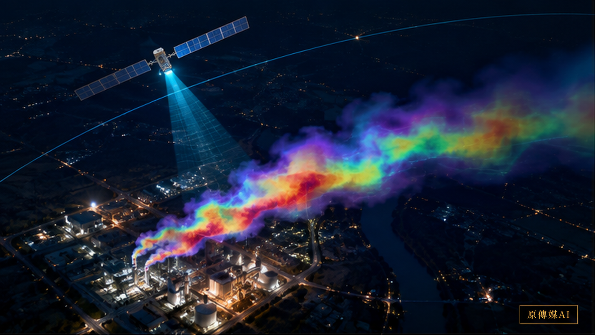
Environmental Evidence Is Taking a New Shape, Starting with a Colored Plume
Methane has no color, and an ordinary person cannot see it with the naked eye from several kilometers away. In the past, when an oil and gas facility, landfill, or coal mine continuously released large amounts of methane, outsiders often had to rely on operator self-reporting, ground inspections, or occasional monitoring programs. Satellites are now rewriting this long-standing information asymmetry. On August 17, 2026, Carbon Mapper announced the second anniversary results of Tanager-1: from its first methane detection in September 2024 through August 16, 2026, the platform had publicly recorded about 14,400 methane plumes, including approximately 6,500 from oil and gas, 4,400 from solid waste, and 3,100 from coal mines. The significance is not simply that satellites can “see more clearly,” but that emissions have become public data that can be located, compared, and observed again. Carbon Mapper | Tanager-1: Two Years of Turning Satellite Data Into Methane Action
Tanager-1 uses hyperspectral imaging to identify methane absorption signals at specific wavelengths, then turns atmospheric anomalies into estimates of plume shape and emission rate. This remote sensing does not place a “methane camera” in space; it infers an invisible gas from spectral differences. Its advantage is the ability to search large areas quickly for super-emitters, especially places with very high emissions but no ground sensors. Its limits include clouds, surface reflectance, wind fields, viewing angle, revisit time, and whether the emission is intermittent. In other words, failing to see a plume once cannot prove that a facility never emits; seeing a plume once still requires field information to determine whether it came from a faulty valve, venting, maintenance, a failed landfill-gas collection system, or another operating event.
From Detection to Notification: MARS Connects Satellite Data to a Chain of Responsibility
UNEP's International Methane Emissions Observatory's Methane Alert and Response System, or MARS, brings this work closer to governance rather than leaving it as a remote-sensing study. MARS combines more than 30 satellite instruments, scientific analysis, and AI models to organize very large methane-emission events and notify governments and companies. In 2026, the system further expanded its alert capabilities to coal and waste instead of focusing only on oil and gas. Carbon Mapper | Carbon Mapper at London Climate Action Week 2026
The key shift is that “seeing” now has a follow-up procedure. UNEP has recorded more than 40 emission-reduction cases catalyzed or verified by MARS across multiple continents. These cases move satellite data beyond a map into a cycle of notification, field inspection, repair, and later observation to confirm whether emissions have disappeared. Carbon Mapper | From Space Detection To Rapid Response In July 2026, UNEP also emphasized how AI can identify important emission events in large volumes of satellite data and accelerate notification and mitigation. STPI | AI helping UN detect methane emissions and spark real reductions
But a new governance problem appears here as well: if detection grows faster than response capacity, public data will only make it clearer who failed to act. A satellite can complete an orbital observation within minutes, and a data platform can organize an event within days, but field repairs at an industrial facility may involve shutdowns, spare parts, contractors, safety procedures, authority, and coordination across agencies. Institutional quality is not measured by the number of colorful plumes on a map. It is measured by whether a traceable timeline exists between alert and response.
What Machines See and What Places Know May Not Match at First
This is where Two-Eyed Seeing can enter. Satellites are good at producing large-scale, cross-regional, comparable anomaly signals. Local governments, plant operators, environmental inspectors, and nearby residents hold another time scale of knowledge. Operators know which compressor stopped yesterday and which pipeline just underwent a pressure test. Residents may know that an odor is especially strong under a particular wind direction. Local inspection records may contain years of incidents and improvements at the same facility. These data are not meant to “disprove the satellite,” nor should the satellite replace field knowledge; they should calibrate one another.
For example, if a satellite sees a large plume on a given day and the operator says it came from a brief maintenance event, the next step is neither automatic acceptance nor rejection. The response should request operating records, maintenance times, wind conditions, and later observations, then check whether they fit together. If residents have reported odors for a long time but the satellite never captures a super-emission, their experience should not be dismissed. The cause may be emissions below the satellite's detection threshold, an event occurring when the satellite did not pass overhead, a pollutant that is not methane, or a different source location. Good governance turns inconsistency into a new investigative question rather than asking one side to be silent.
The Real Value of a Public Ledger Is Making “No Response” Visible Too
The public value of satellite methane data is that it begins to change the power to prove a claim. When only an operator knows how long a major emission has existed, outsiders have difficulty confirming that a problem is real. When third-party satellite data are public, governments, researchers, investors, media, and communities can potentially see the same event. This does not mean a satellite estimate can automatically become a fine, nor that every plume can be assigned precisely to a single valve. It does establish a shared starting point from which an explanation can be requested.
A public ledger should record more than “detected.” A fuller record would include the first observation time, possible source, estimated emission rate and uncertainty, whether the responsible unit was notified, when it replied, field confirmation, measures taken, completion time, and whether later satellite or ground monitoring showed that emissions had fallen. If only the first half is public, the system becomes a beautiful pollution map. If the second half is public too, it becomes an accountability tool.
For Taiwan, the Point Is Not to Buy a Satellite Immediately
For Taiwan, the most valuable lesson may not be to copy Tanager-1, but to build a data workflow of “remote-sensing anomaly → field inspection → repair → re-verification.” Existing satellites, airborne remote sensing, fixed ground stations, handheld optical gas imaging, and operator records can serve as evidence at different levels. Landfills, wastewater treatment, natural-gas facilities, industrial combustion, and other sites that may produce methane can begin with inventories of high-risk and high-emission sources.
It is especially important not to treat AI as the final judge. AI can screen large numbers of images for plumes and increase analysis speed, but people must remain responsible for attribution and enforcement. Models should preserve the source, version, confidence level, and human-review result. If an alert is judged a false positive, the reason should remain in the record so that the same mistake is not repeated. Environmental governance needs traceability, not a mysterious automated verdict.
When the Sky Starts Keeping Accounts
Pollution control has often been constrained by the question, “How can you prove that it is emitting right now?” The question is beginning to reverse: once the sky has recorded a location, time, and plume, how will the responsible unit prove that it dealt with the problem? This is the significance of methane satellites entering a second phase.
Tanager-1 and MARS show a new kind of public infrastructure. It is not a factory or a pipeline, but an observation system that keeps environmental events visible, open to questions, and subject to verification. Real progress is not merely allowing satellites to photograph more pollution. It is ensuring that every major emission eventually has an inspectable conclusion. When satellites, AI, field records, and local observations enter the same ledger, invisible emissions begin to lose their hiding place.
One More Caution: Visibility in Public Data Is Not the Same as Fairness
As satellite data become more public, another easily overlooked question is who can use them. A large energy company may have engineers who can download plume data and compare it with equipment and weather. A small local government or community organization may have only a public map and no ability to interpret emission rates, wind fields, or uncertainty. If data are public without explanation, appeal mechanisms, and technical support, transparency may benefit only users with abundant resources. A public platform should therefore provide event categories, estimation methods, confidence levels, historical observations, and a plain-language “what to do next,” so that non-specialists can understand what an alert actually means.
Regulation should also avoid turning satellite data into a one-way pressure tool. If an operator can provide verifiable maintenance and operating evidence, the event status should be updateable. If residents provide new field data, there should be a way to include it. The point of a public ledger is not to label a facility a “polluter” forever, but to preserve the complete life history of an event from occurrence, discovery, and response through verification. Only then does transparency become more than exposure; it becomes a governance procedure that people can inspect together.
AI use and content-safety disclosure
This article was organized and reviewed through the Yuan Media AI editorial process.