How Many Tree Species Are on Indigenous Peoples’ Lands? The Question Itself May Be Biased by Global Biodiversity Data
Original Chinese title: 「這片原住民族土地有多少樹種?」可能連問題本身都有偏差:最新研究開始追查全球生物多樣性資料的盲點
An npj Biodiversity study focused on Indigenous Peoples’ lands in Bolivia shows how spatial, taxonomic, and institutional biases shape estimates of tree-species richness. Sparse records are not equivalent to low biodiversity, and forest monitoring must also address local knowledge, sensitive locations, and data sovereignty.
Yuan Media AI Editorial Desk
Yuan Media AI Editorial Desk.
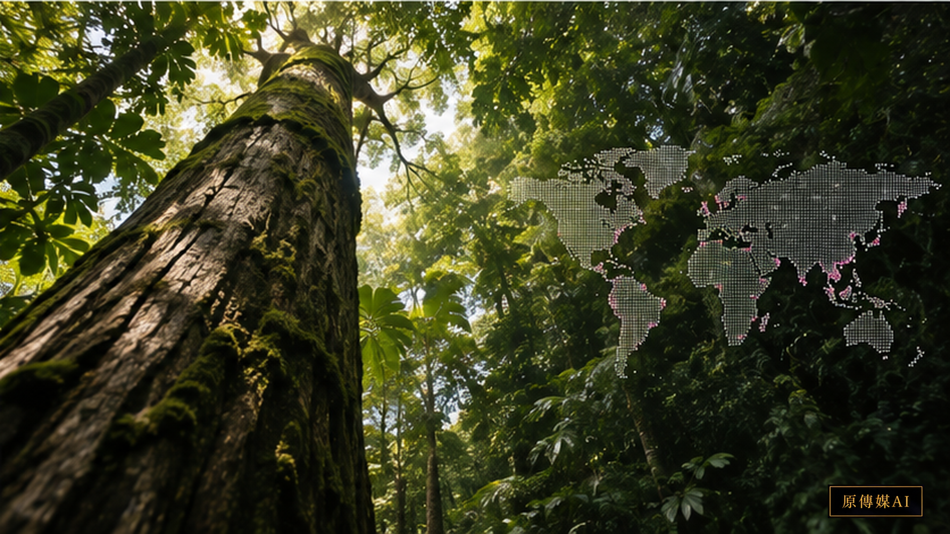
A Blank Database May Simply Mean Nobody Sampled There
On August 22, 2026, npj Biodiversity published a study focused on Indigenous Peoples’ lands in Bolivia. The researchers compared three different data sources and examined spatial and taxonomic biases in tree-species richness as well as the institutions that collect and host records. The analysis shows that sampling location, taxonomic coverage, and institutional provenance directly shape the biodiversity patterns that appear on global maps. Fewer database records therefore do not necessarily mean fewer species in the forest.
Species Richness Looks Like a Number, but It Carries Many Assumptions
Species richness is often treated as the simplest biodiversity measure: count the number of recorded species in a place and produce a number. Yet that number depends on a long chain of conditions. Someone must sample the site, the locations must be representative, organisms must be identified correctly, records must be digitized, and data must be uploaded to a system that researchers can use. Remote regions, places with difficult access, and areas with fewer research resources can become data-poor even when their ecosystems are biologically rich.
Institutional Provenance Is Also a Source of Bias
The study also examines institutional provenance. Many records are held by international institutions, while database metadata may reveal little about whether or how Indigenous Peoples participated in producing the knowledge. This is more than a question of credit. When a tree is reduced to a Latin name and a coordinate, its relationships with food, animals, soil, water, seasonality, customary restrictions, and history can disappear from the dataset. Data structure can therefore remove context even when the species identification itself is correct.
The Ogiek Example Shows That “Species Data” Can Have a Different Structure
Recent UNESCO documentation of Ogiek knowledge around Mt. Elgon describes something very different from a simple plant inventory. Seed selection, flowering trees, rainfall signals, food security, and inherited forest rules are connected. A flowering event can simultaneously be phenological information, climate knowledge, a food-security signal, and a basis for farming decisions. If a global database accepts only a scientific name and coordinate, much of this relational structure is lost even though the record may appear technically complete.
Two-Eyed Seeing Must Allow Local Classification to Remain More Than a Translation
Two-Eyed Seeing should not be reduced to matching each local plant name with one Latin name. Local classification may distinguish plants by use, habitat, seasonal condition, animal relationship, or cultural rule, while scientific taxonomy is designed around evolutionary and classificatory relationships. The two systems can be mapped where appropriate without assuming that one must absorb the other. Indigenous communities should also have authority over which information can be shared and which sensitive species locations should be generalized or withheld.
Community Monitoring Should Be Able to Change National and Global Data Flows
FAO’s AIM4Forests work supports Indigenous Peoples and customary communities in strengthening forest monitoring and mapping. A meaningful system should not treat communities as a source of free data for external databases. Community-generated evidence should be able to influence national forest monitoring, conservation policy, and climate-finance mechanisms while local governance over sensitive information is retained. Communities also need to see how their data are used once information moves upward into government or international systems.
Absence of Records Must Not Be Written as Absence of Species
“Absence of records is not absence of species” should be a basic warning for global biodiversity modelling. A non-observation can reflect true absence, but it can also reflect insufficient sampling. If that distinction is ignored, data-poor Indigenous Peoples’ lands may be undervalued in conservation prioritization. That can create a harmful loop: a place appears less important because it has been studied less, and it then receives fewer resources because it appears less important. Better modelling must represent uncertainty in the observation process itself.
Forest Data Governance in Taiwan Needs the Same Shift
Forests, hunting areas, streams, and plant knowledge in Indigenous townships in Taiwan also contain information with different levels of sensitivity. Some data can support public conservation systems, while other information involves culturally sensitive sites, rare species, collection locations, or ceremonial rules and should not be automatically opened. Community monitoring therefore needs to define access rights, storage location, purpose of use, withdrawal procedures, and benefit-sharing before focusing only on coordinate precision and technical interoperability.
From “How Many Points Are on the Map?” to “Who Has the Right to Interpret Them?”
Biodiversity science increasingly depends on large datasets, but data do not fall naturally into databases. They are collected by particular people and institutions under particular historical conditions. Data gaps on Indigenous Peoples’ lands remind us that better science is not simply a project to convert every forest into one standardized format. It requires governance across what can be compared and what should remain irreducible. The important question is not only how many points are on a map, but who has the authority to explain what those points mean.
Turning a Research Result into a Publicly Verifiable Question
Any new research result entering public debate must separate direct evidence from mechanism and policy inference. Direct observations can be rechecked, while explanations for sampling bias need replication across regions and datasets. Policy decisions additionally require rights, costs, local conditions, and governance. For Taiwan, an appropriate response would be small, traceable community-monitoring pilots with explicit data permissions, documented uncertainty, and mechanisms that let knowledge holders revise the questions being asked rather than simply supply observations to an external model.
Who Samples Determines What the World Can See
A global biodiversity database may look neutral, but every record reflects choices about where to go, when to visit, what to collect, how to classify it, whether to preserve a specimen, whether digitization is funded, and whether the record is uploaded. Roads, research stations, and easily accessible areas are often sampled more heavily. Remote forests and under-resourced regions can remain sparse. Once models transform those uneven records into maps, the history of sampling can become visually indistinguishable from the ecological pattern itself.
More Data Does Not Automatically Mean More Fairness
The most obvious response to a data gap is to collect more data, but more collection without data governance can create new risks. High-precision locations for rare plants, culturally significant species, sacred places, or useful medicinal plants can increase illegal collection, disturbance, or commercial exploitation. For some knowledge, responsible governance may require tiered access, spatial generalization, delayed release, or non-disclosure. Data sovereignty is not an ethical footnote added after collection; it should shape the architecture of the data system.
Local and Scientific Classification Can Converse Without Swallowing Each Other
A local plant classification may distinguish stages, uses, or habitats within what scientific taxonomy treats as one species, or it may group several scientific species into one functional category. Asking only which local word corresponds to which Latin name can flatten the logic of the local system. A better approach records where systems overlap and where direct translation is inappropriate. Digital platforms and AI systems should likewise avoid assuming that every field can be standardized into one taxonomy. Narrative relations, seasonal context, and permission labels may need to remain first-class data.
What Forest Monitoring Really Needs Is a Long-Term Relationship
One-off international projects can leave behind equipment and datasets without leaving maintenance capacity. Durable community monitoring requires training, replacement equipment, data backup, youth participation, intergenerational transmission of language and classification knowledge, and public institutions willing to use community-generated evidence. The deeper challenge is to make data useful in both directions: for local land governance and for national or international monitoring. When communities retain decision-making authority, biodiversity science can move from mapping Indigenous Peoples’ lands to jointly deciding what should be visible and why.
Main References
AI use and content-safety disclosure
This article was organized and reviewed through the Yuan Media AI editorial process. AI-assisted translation was used with human editorial responsibility for factual accuracy and source fidelity.