Wildfires Are Making Their Own Weather: NASA Is Chasing Pyrocumulonimbus Storms—What Warning Layer Is Missing?
Original Chinese title: 森林火災正在「自己造天氣」:NASA 追進火積雲風暴,災防要補上哪一層預警?
NASA's 2026 INSPYRE campaign connects aircraft, satellite and ground observations to study fire-driven pyrocumulonimbus, smoke injection and rapidly changing fire weather.
全明正
全明正 | Bunun, Shuanglong community | cultural and visual-documentation practitioner; long-term focus on energy transition, materials technology, low-carbon supply chains, industrial policy and local environmental governance.
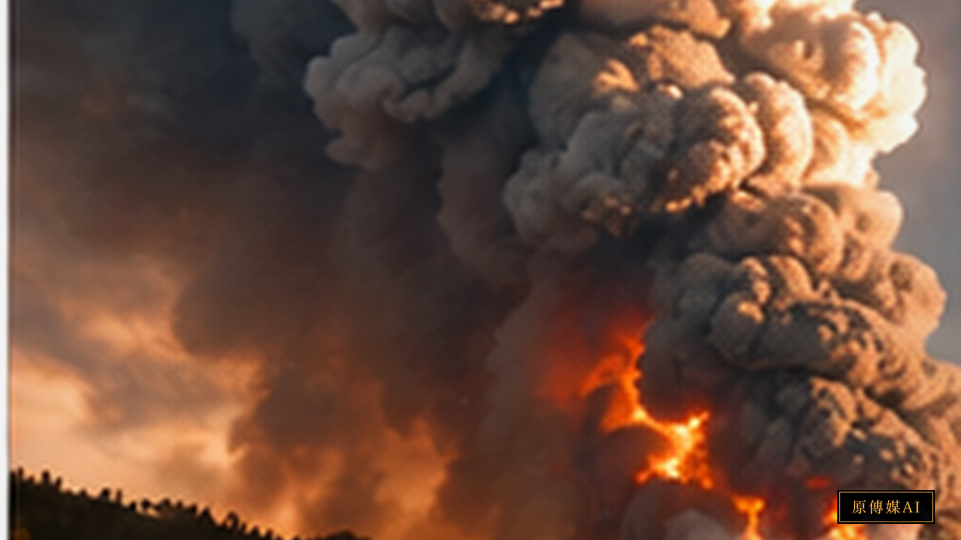
When fire stops being only a weather victim
Extreme wildfires can reverse the usual relationship between fire and weather. Intense heat drives powerful updrafts, water condenses at altitude, and smoke becomes embedded in deep convection. The strongest events become pyrocumulonimbus, or pyroCb: fire-driven thunderstorms that can produce lightning, hail, strong turbulence and sudden wind changes.
NASA's INSPYRE campaign is studying this coupled system with the ER-2 aircraft, NSF/NCAR's GV, ground sensors, satellites and models. During the Widemouth 2 Fire, MODIS detected very cold cloud tops after pyroCb bursts, and the GV sampled a high-altitude smoke pulse at roughly 12 km—an altitude not routinely represented in forecast data.
Why forecast models struggle
Only a small fraction of fires become pyroCb. Fire intensity is necessary but not sufficient. Atmospheric instability, moisture, wind shear, terrain and convective triggering also matter. This means operational prediction must couple fire behavior and atmospheric dynamics rather than treating fire as a passive surface boundary.
For emergency management, the threat is not only the location of the flame front. PyroCb can generate outflow, lightning, new ignitions and hazardous aviation conditions. A useful warning system would combine fire intensity, atmospheric instability, cloud-top cooling, lightning rate and smoke-injection height into probabilistic triggers.
Local and Indigenous fire knowledge has a role—but a bounded one
Cultural burning and place-based fire knowledge can provide detailed understanding of fuels, seasonality, slope, landscape mosaics and historical burn patterns. It should not be claimed to directly predict upper-atmosphere pyroCb physics. The productive interface is earlier targeting: local knowledge can identify fuel–weather combinations worth intensified monitoring, while radar, satellite and sounding data provide the atmospheric component.
Taiwan should not copy North American thresholds. A better first step is to integrate radar, lightning, satellite cloud-top information, fire reports, local weather and terrain/fuel data and build an event archive from ordinary smoke plumes through pyrocumulus and deeper convection. The goal is a warning system that sees the coupled fire–atmosphere system before a giant cloud tower is obvious to the eye.
Flight observations recover the heights that models often miss
NASA Earth Observatory reported that the Widemouth 2 Fire produced a pyroCb burst on 2 August. MODIS observations showed cloud-top brightness temperatures below minus 40 degrees Celsius, a common signal that the cloud is approaching the tropopause. The following day, an NSF/NCAR research aircraft sampled the transported smoke plume at roughly 12 kilometres above New Mexico, a layer that weather models may not adequately represent.
Satellites show the broad plume and cloud top; aircraft measure particles, gases, radiation and microphysics; ground radar and sensors add the lower structure. INSPYRE joins those scales rather than treating any one of them as a complete warning system.
Only some fires cross the threshold into pyroCb
Large heat release is necessary but not sufficient. Atmospheric instability, moisture through the lower and middle atmosphere, wind shear, terrain and the timing of convective triggers all matter. NASA is examining why some events generate extensive lightning, why some smoke reaches the stratosphere and why some clouds collapse while others erupt repeatedly. PyroCb is therefore a coupled threshold in fire behaviour and atmospheric conditions, not a label that follows automatically from a large fire.
The operational danger is a fire that suddenly changes its own conditions
Routine wildfire warnings track hotspots, fuel moisture, wind, temperature and humidity. Deep convection adds gust fronts, lightning and abrupt local wind changes that can redirect a fire or ignite new fires outside the main perimeter. Strong turbulence is also an added risk for aerial suppression and research flights.
Operational questions therefore include whether a plume has entered a deep-convective mode, whether lightning rates are accelerating, whether cloud tops are cooling rapidly and whether smoke-injection height is jumping. These signals need case-based calibration before they are used as action triggers.
Satellite data and fire crews need a common decision language
Satellite imagery, radar, soundings, models, airborne instruments and crews each describe a different part of the event, often at different times and in different technical vocabularies. A practical warning product has to turn that collection into a small set of usable conditions: fuel and fire intensity, available convective energy, moisture, cloud-top cooling, lightning change and the implications for aviation, evacuation and firefighter safety.
The triggers cannot be chosen only from attractive retrospective plots. They need an event archive that tests whether each combination was present, how quickly it developed and what decisions it could reasonably have informed.
High-altitude smoke is also a climate and ozone question
Wildfire smoke is often discussed through regional PM2.5 exposure, but pyroCb can lift particles into the upper troposphere and stratosphere, where removal by precipitation is weaker and residence time can be much longer. The 2026 campaign is therefore measuring composition and radiative effects as well as the fire-weather pathway.
That does not mean every pyroCb has a measurable global climate effect. The concern is cumulative: more frequent or more intense extreme fires could make high-altitude smoke injection an atmospheric pathway that cannot be ignored.
Local and Indigenous fire knowledge can guide monitoring without claiming to forecast pyroCb
Cultural burning practitioners and local fire observers may know fuel continuity, vegetation condition, season, aspect, landscape mosaics, past burns and local wind variation. Those observations do not directly predict upper-air instability, cloud microphysics or lightning, and they should not be advertised as doing so. Their value is in identifying fuel-weather combinations that deserve earlier or denser atmospheric observation.
Meteorological observations can also return useful safety information to local decision makers. The partnership is strongest when each knowledge system changes the next monitoring question while the physical limits of each claim remain clear.
Taiwan can build graded observation before claiming a North American forecast
Taiwan's forest types, climate and fire scale differ from the western United States, so NASA thresholds should not be copied directly. Mountain terrain, complex local winds and dry-season fires can nevertheless produce strong heat plumes and pyrocumulus, with risks for aviation, visibility and fire behaviour even when a classic pyroCb does not form.
A practical first step is to link weather radar and lightning, satellite cloud tops, fire monitoring, surface observations, firefighter reports, topography and fuel maps. The goal is not an immediate claim of prediction; it is a graded capability to distinguish ordinary smoke, pyroCu and deep-convective fire plumes.
Warning must begin before a spectacular smoke tower is visible
Once a large tower is obvious to the eye, much of the transition may already have occurred. Earlier warning combines unusually dry fuel, rapidly increasing fire activity, a deepening boundary layer, rising instability aloft, cloud-top cooling, lightning onset and increasing injection height. A probabilistic product can give aircraft and evacuation planning more time, but it also needs calibrated thresholds to avoid warning fatigue.
Fire making weather is a reminder that disasters are coupled systems.
Fuel shapes fire intensity; intensity changes convection; convection changes wind and lightning; and high-altitude smoke changes atmospheric chemistry and radiation. INSPYRE matters because it observes this whole chain rather than another isolated fire map. For local disaster preparedness, the next capability is a decision view that can place ground fire behaviour and upper-air change together.
Image interpretation must not diagnose pyroCb from a cloud tower alone.
PyroCb is visually dramatic, which makes it easy for social media or image systems to label any large fire cloud as a fire thunderstorm. Better classification uses multiple lines of evidence: rapidly cooling satellite cloud tops, radar structure, lightning, injection height and heat release. A dataset should include ordinary smoke plumes, pyroCu, deep convection and confirmed pyroCb alongside their matching atmospheric observations.
Warning design also has to consider who receives what. Fire command, aviation, local government, forestry agencies and residents work on different time horizons. Layered products should show confidence, time windows and recommended actions, and state uncertainty directly instead of offering a single alarming colour.
Sources
AI use and content-safety disclosure
This English translation was prepared with AI assistance for organization, drafting and language editing. Human editorial verification remains responsible for viewpoint, factual review and publication.