Thunder is not only in the sky: underground fiber turns storms into free seismic sources for imaging the urban subsurface
Original Chinese title: 雷聲不是只在天上響:地下光纖竟把雷雨變成「免費震源」,照出 100 公尺深的城市地層
Thunderquakes can be treated as natural seismic sources rather than noise. Combined with distributed acoustic sensing, repeated storms may help map shallow underground velocity structure while raising questions about validation, data volume and surveillance boundaries.
Lawrence Lee
Lawrence Lee is a scholar at the University of Leeds and a Yuan Media AI science and nature observer focused on the deep sea, space and how people record hard-to-reach worlds.
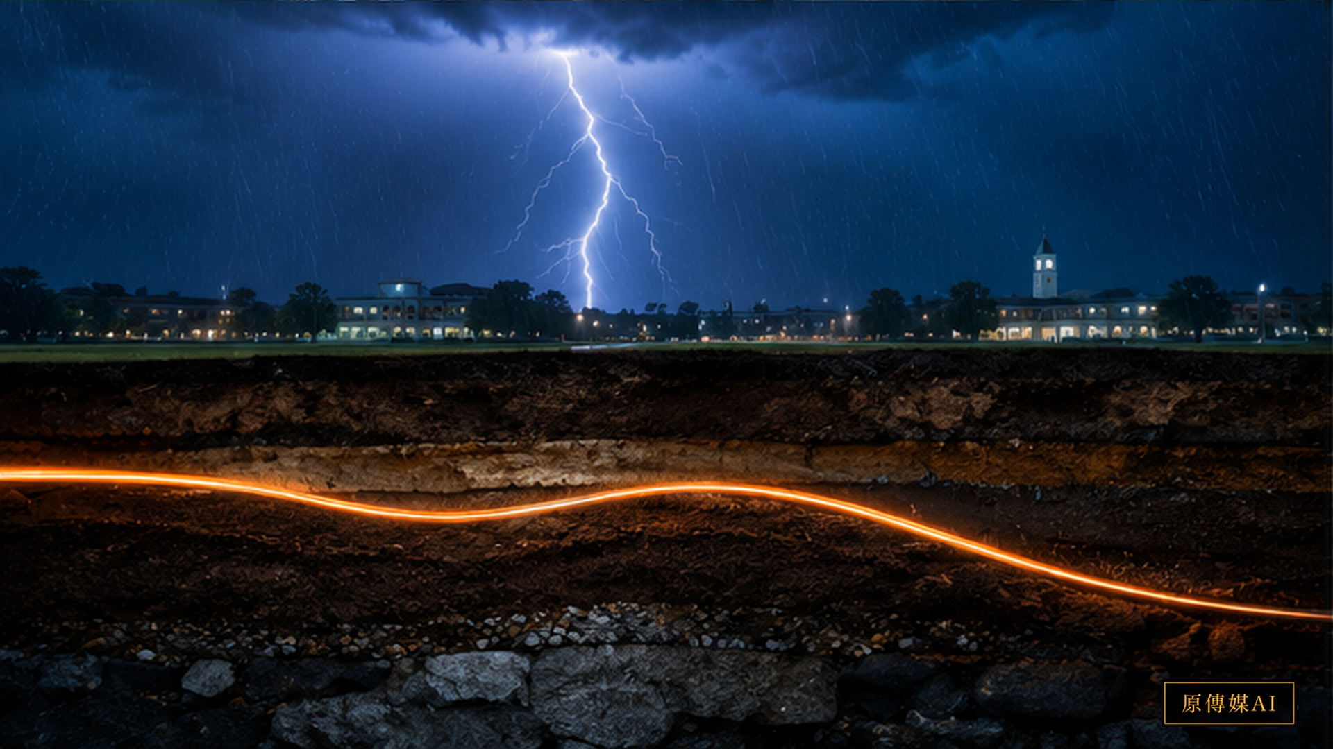
Thunderstorms are often treated as noise in earthquake monitoring. Thunder shakes the air and the ground, creating small surface waves that traditional seismic stations may filter as background interference. A 2026 Science Advances study reverses that assumption. If thunderquakes are not merely noise but many naturally occurring, low-cost seismic sources, they may help reveal the shallow subsurface.
The Penn State team used existing underground fiber and distributed acoustic sensing, or DAS, to analyze two and a half years of data. The researchers identified 458 high-confidence thunderquake events and used the resulting Rayleigh waves for shallow tomography, reconstructing velocity structure to about 100 metres. The striking feature is the connection between three systems that are usually discussed separately: weather supplies energy, telecom fiber supplies sensing and seismology supplies an underground model.
Traditional seismic monitoring requires individual seismometers. Installation is expensive and the spatial density is limited. DAS works differently. Laser pulses are sent through existing fiber and tiny changes in backscattered light reveal strain and vibration along the cable. A fiber route several kilometres long can act like thousands of virtual sensing points. The research is especially interesting because it does not create an artificial seismic source; it uses thunder arriving from the atmosphere.
The word thunderquake can sound as though lightning creates an earthquake. The mechanism is more specific. Lightning produces rapid air expansion and a thunder acoustic wave. When the wave reaches the ground, part of its energy couples into the shallow subsurface and creates surface waves that DAS can measure. The waves are weak, but dense fiber measurements can follow their propagation. Travel time, dispersion and velocity differences across events and paths can then be used to infer the shear-wave velocity structure of underground material.
Why is a depth of only 100 metres useful? Seismology often aims at kilometres or tens of kilometres, but many urban engineering and slope problems occur in the upper tens to hundreds of metres. Fill, fractured zones, aquifers, buried channels, weak layers and bedrock relief can affect buildings, roads, underground works and slope stability. A low-cost shallow three-dimensional velocity model could add information that a borehole cannot provide by itself because a borehole sees only a point.
The reported weak zones are visually compelling, but the evidence boundary matters. A low-velocity zone may be associated with loose, fractured or water-rich material. It does not mean that every low-velocity zone will collapse or settle. Turning an image into an engineering risk assessment requires geology, boreholes, groundwater, slope, loading and time-series information. One tomography describes spatial structure; a real landslide warning system would also need continuous change detection.
The method is also a story about reusing infrastructure. Cities already contain large amounts of buried telecom fiber. If some fibers can sense without disrupting communication, they could increase the density of geophysical observation. This is not simply another new sensor network. It is a reinterpretation of existing infrastructure: a cable that carries data may also register road vibration, earthquakes, thunder and underground change.
The Earth system is not divided into isolated atmosphere, land and ocean compartments. Storms, waves and thunder can transfer energy into the solid Earth. Earlier USGS work on stormquakes showed that large storms and ocean waves can generate observable seismic signals. Phenomena once dismissed as interference can become information when the measurement question changes. Scientific progress sometimes begins by treating a discarded signal as a possible source.
For Taiwan's Indigenous townships, the method should not be described as taking a community's fiber and predicting a collapse. Current evidence does not support that claim. A realistic collaboration would concern monitoring priorities. Residents and road crews know which mountain road cracks after repeated rain, which slope foot seeps water and which bend has failed before. Those place-based observations could help select fiber segments for analysis, while DAS supplies underground wave and velocity information that people cannot see directly.
DAS's strength is also an engineering challenge. A single fiber can produce data at very high temporal and spatial resolution, so continuous recording quickly becomes enormous. Deployment therefore needs edge processing, event detection, compression, storage policy and long-term data governance. If every storm leaves a large vibration record, operators must decide what deserves retention. They must also prevent traffic, construction and private activity from becoming unnecessary surveillance data.
Storms have another possible advantage: they recur. If each storm provides an acoustic-to-seismic source from a different direction, observations may accumulate across many angles. Over a longer period, researchers might compare velocity changes by month and examine whether water content, groundwater or weak layers vary seasonally. This remains a research direction, not an operational capability already proven for every site.
The study matters because it connects weather, telecommunications and geophysics. Thunderstorms provide energy, fiber provides sensing and seismic imaging provides the model. In the future, transport, groundwater, engineering and disaster-prevention data might be combined with a fiber network to form an urban subsurface monitoring layer. The first step is still validation across geology, burial depth and fiber coupling conditions.
The practical lesson is not that every thunderstorm should trigger an alarm. It is that a sensor network can reveal new value when scientists reconsider what counts as noise. Any public deployment would need independent validation, clear uncertainty, community participation and limits on data collection. In an Indigenous township, local observations should help define the question, while the technology remains accountable to the people who live beside the monitored infrastructure.
The method also changes the idea of cheap sensing. Adding equipment is not always the only way to observe a difficult environment. Existing networks may carry signals that become useful when paired with a new physical model. But reuse is not permissionless extraction: ownership, access, retention, privacy and the right to challenge an interpretation must be part of the design from the beginning.
Yesterday, a thunder signal might have been filtered out; today, it can be treated as an imaging source. When underground fiber can hear energy from the sky, the city gains another way to observe its hidden layers. The responsible conclusion is modest but valuable: thunderquake imaging is a promising research method whose transfer to Taiwan still depends on evidence, local conditions and governance.
Evidence and applications
The broader significance is a change in attention. A weather event, a communication cable and a geophysical model can form one observation chain, but each link has limits. The method should expand what can be measured without encouraging overconfident claims about prediction or turning ordinary urban movement into data that no one agreed to collect.
Sources:
AI use and content-safety disclosure
This English edition is an AI-assisted translation of the Chinese article, checked for source parity and evidence boundaries. It distinguishes the reported thunderquake imaging research from possible applications in Taiwan and does not present the method as a ready-made warning system.