Plants Glow From Space Too: ESA’s FLEX Is About to Measure the Faint Fluorescence of Photosynthesis Worldwide
Original Chinese title: 植物在太空中也會「發光」:ESA 的 FLEX 即將升空,衛星第一次要全球量測光合作用的微弱螢光
ESA’s FLEX mission, scheduled to launch on September 15, 2026, will use the FLORIS spectrometer to map solar-induced plant fluorescence globally and add a physiological layer to Earth observation.
Yuan Media AI Editorial Desk
Yuan Media AI editorial team covering official Indigenous township information, Indigenous education, language technology, AIGC, Taitung agriculture, local industrial resilience, traditional-knowledge governance, and digital public services.
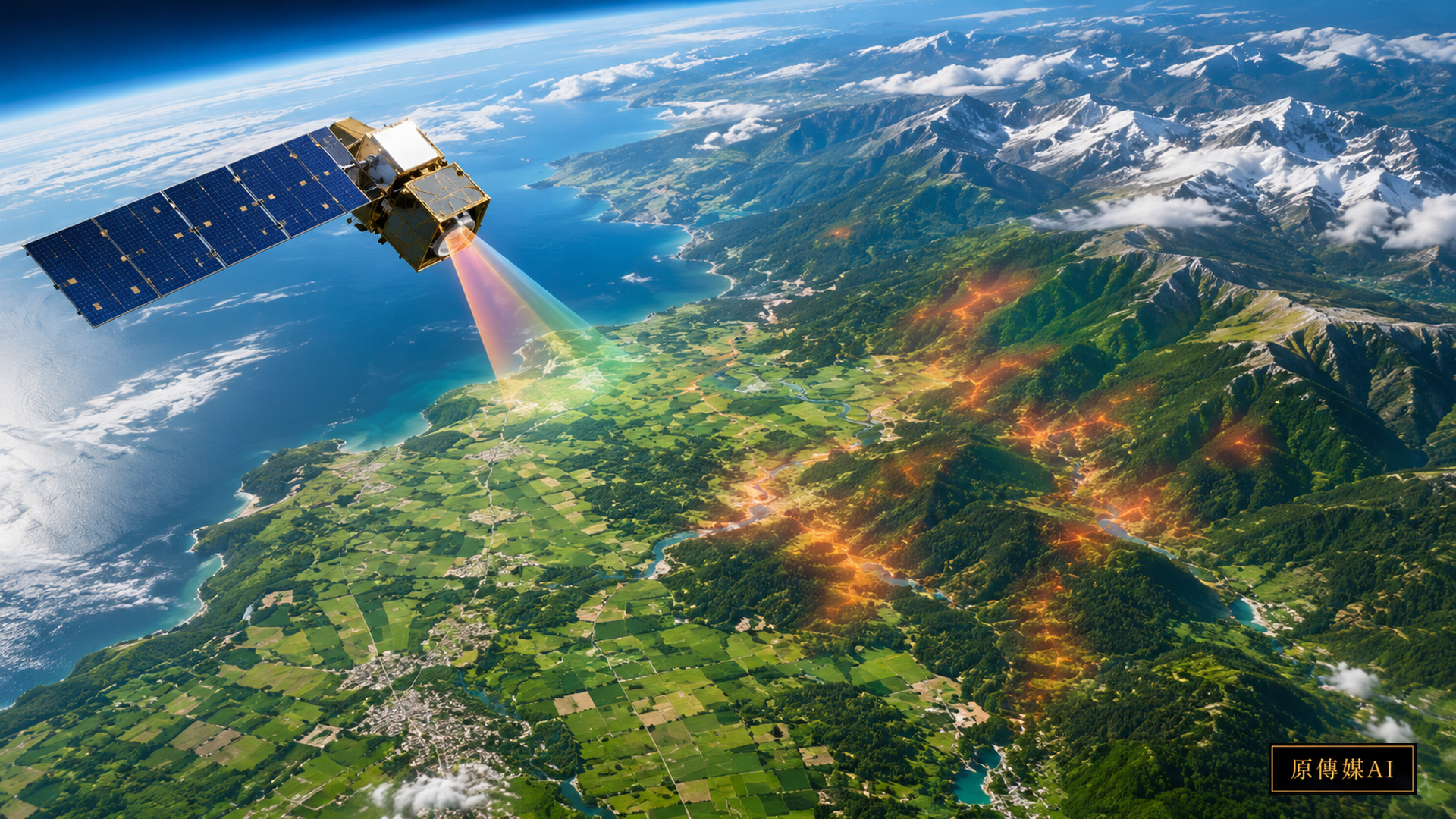
From space, the most intuitive way to observe vegetation has long been to ask how green it looks. But green does not necessarily mean that photosynthesis is proceeding efficiently. A leaf can remain visibly green while drought, heat, or another stress has already reduced its photochemical performance. ESA’s FLEX mission is designed to close part of that gap by measuring the extremely faint fluorescence released during photosynthesis.
As of September 1, 2026, the ESA | FLEX mission page lists September 15 as the planned launch date from Kourou, French Guiana, aboard a Vega-C rocket. FLEX is therefore scheduled to launch; it is not yet an operational satellite service. ESA’s August 20 launch-preparation update says the spacecraft completed a critical fuelling step before launch.
Plants really do glow, but the signal is too faint for our eyes
When plants absorb sunlight, not all of that energy is used for photosynthesis. Some is dissipated as heat and a small fraction is re-emitted as fluorescence. This solar-induced fluorescence is extremely weak, but it carries information related to photosynthetic activity and environmental stress. FLEX’s main instrument, the Fluorescence Imaging Spectrometer, or FLORIS, is designed to separate this subtle signal from the much stronger background of reflected sunlight.
ESA says FLEX will create global vegetation-fluorescence maps at roughly 300 by 300 metres, adding a physiological layer to Earth observation and helping researchers understand carbon exchange between vegetation and the atmosphere.
Why greenness alone can reveal stress too late
Conventional optical remote sensing is very good at detecting leaf area, vegetation cover, pigments, and seasonal change. The limitation is that some forms of stress alter photosynthetic efficiency before yellowing, wilting, or canopy changes become obvious. ESA has highlighted the potential for fluorescence observations to reveal vegetation stress before symptoms are clearly visible from the ground.
This matters for research on drought, heat waves, rainfall variability, and crop stress. Knowing that vegetation is present is not the same as knowing how actively its photosynthetic machinery is operating.
FLEX will not work alone; it needs the environmental context from Sentinel-3
ESA’s August 28 FLEX and Copernicus Sentinel-3C media briefing explains how the missions complement each other. Sentinel-3 provides observations of land, ocean, ice, and atmosphere, while FLEX focuses on vegetation fluorescence. To interpret a drop in fluorescence, researchers still need information about clouds, aerosols, surface temperature, vegetation type, and other environmental conditions.
A remote-sensing signal is rarely the cause itself. Low fluorescence could reflect water stress, heat, disease, nutrients, harvest timing, or observation conditions. Satellites are especially good at telling us where something changed; ground observations are often needed to explain why.
What does a 300-metre pixel mean for a farmer?
A 300 by 300 metre pixel covers about nine hectares. That is valuable for global carbon-cycle research and regional agricultural monitoring, but in smallholder agriculture, mountain farming, mixed cropping, or fragmented landscapes, one pixel may include several crops, forest patches, roads, and settlements. FLEX should therefore not be presented as an instant health diagnostic for every individual field.
A more realistic workflow uses satellite data to identify regional anomalies and then returns to the ground to ask which plot, cultivar, management practice, or local condition changed.
Two-Eyed Seeing: satellites know where change appears; local observers know why this season is different
In agriculture and forest management, local knowledge is valuable not because it replaces instruments, but because it adds temporal and contextual detail. Farmers remember which slope dries first, when a cultivar normally flowers, and what a particular heat wave did to leaves. Forest workers may track flowering, leaf fall, insects, and seasonal rain. Such observations are small-scale and context-rich, complementing standardised satellite measurements.
A meaningful Two-Eyed Seeing workflow moves in both directions: satellite data identify an unusual region; farmers, technicians, or local observers interpret it with field and phenological records; those records then improve later remote-sensing interpretation.
For Indigenous townships and mountain farming, the opportunity is joint validation, not technology chasing
Many Indigenous township landscapes in Taiwan combine steep terrain, fragmented cultivation, forest-agriculture mosaics, and rapidly changing microclimates. These conditions make mixed pixels especially likely. If FLEX data are used in such areas, a sensible first step is not an automatic "AI plant-health score" but a small number of jointly validated sites recording crop, cultivar, elevation, slope, soil moisture, management events, phenology, and unusual weather.
Data governance matters too. Field records, crop locations, and traditional management knowledge should not automatically become public data merely because researchers want to calibrate a model. Projects should specify who provided information, who may use it, whether it may be published or reused for model training, and how results return to knowledge holders.
One satellite cannot replace the field, but it can change the questions we are able to ask
FLEX is important not because it claims to diagnose every plant from orbit, but because it is designed to enable new global comparisons of photosynthetic activity. When satellite observations, meteorology, ground sensors, and local phenological records are brought into the same framework, vegetation becomes more than green area on a map. The next step is to make global signals and local knowledge test one another rather than allowing either side to claim it can see the whole system alone.
AI use and content-safety disclosure
This English edition is an AI-assisted translation of the reviewed Chinese feature. The translation preserves source links, factual qualifications, and author identity safeguards and does not add new factual claims.