A Half-Century of “Reading Clouds” Is Changing Hands: What NOAA’s Manual Dvorak Transition Means for Western Pacific Warning Chains
Original Chinese title: 半世紀的「看雲估颱風」正在換班:NOAA 停止西北太平洋部分手動 Dvorak 估算,台灣的預警鏈會少一雙眼睛嗎?
Ending selected NOAA manual Dvorak estimates does not remove Western Pacific intensity analysis; the key issue is whether redundancy, exceptional-case review and local warning responsibility continue.
Lawrence Lee
Lawrence Lee is a scholar at the University of Leeds, UK, and a technology policy observer focused on digital governance, AI regulation and Indigenous/community data sovereignty.
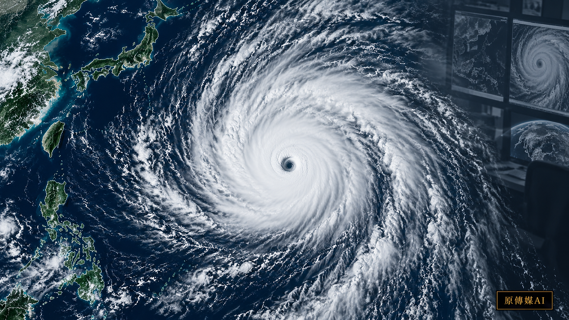
A half-century of human interpretation is stepping back, but a warning system does not lose half its capacity with one service
In September 2026, NOAA’s Satellite Analysis Branch ended manual Dvorak tropical-cyclone intensity estimates for selected basins. That may sound like a narrow operational change, but it reaches into the historical core of modern typhoon warning: how can people estimate the strength of a tropical cyclone over an ocean with no aircraft reconnaissance, nearby radar or surface observations?
The Dvorak technique is the classic answer. Analysts identify eyes and eyewalls, central dense overcast, spiral rainbands, cloud-top temperature and organization in visible and infrared imagery. Rules convert those patterns into a T-number used to estimate maximum winds and central pressure. Dvorak turned “reading clouds” into a professional language that could be taught, compared and used across regions.
Objective satellite algorithms, microwave sensing, scatterometers, numerical models and multi-agency data fusion are now far more mature. NOAA’s manual role is changing, but the end of one unit’s manual Dvorak service does not mean the Western Pacific has lost intensity estimates, nor does it mean AI has taken over typhoon forecasting.
The real issue is how much redundancy an international warning chain needs
Tropical-cyclone warning is not the product of a single institution. RSMC Tokyo, JTWC and Taiwan’s Central Weather Administration, among others, maintain their own operational data and judgments in the Western Pacific. Centers may use different best tracks, wind-averaging periods and estimation methods. That plurality is also why a regional system can continue operating when one source leaves.
This is resilience: a disaster-information system should avoid a single point of failure, not merely chase one “most accurate” model. What happens when a satellite fails, an algorithm meets an exceptional cloud pattern or a microwave observation is unavailable? The chain needs multiple sources, multiple institutions and human review.
NOAA’s change is therefore a governance question. When a new tool retires a manual service, who preserves the experience behind that service? Who monitors automated bias in extreme cases? Who maintains comparability among international data products?
Dvorak’s value is not that eyes beat computers, but that it created a shared language
Early satellite analysis was difficult not only because observations were sparse, but because different people could reach different conclusions from the same image. Dvorak’s historical achievement was to compress expert pattern recognition into explicit constraints: which cloud configurations correspond to which intensity, how eye temperature relates to surrounding cloud tops, and how quickly an estimated intensity may change.
Today’s objective algorithms inherit much of that reasoning. They did not appear from nowhere; they were developed on top of manual methods, observation histories and validation datasets. As routine manual analysis declines, knowledge about how to judge exceptions becomes especially valuable.
A mature automated system should know when its own estimate is unreliable. Eyewall replacement, rapid intensification, a center hidden under high cloud, strong shear and highly asymmetric structure can each make a single method diverge from reality. Comparison among methods and human expertise remain important in those cases.
For Taiwan, the issue is not losing one NOAA product but sustaining cross-checks
Taiwan lies in a high-risk Western Pacific typhoon region. Its Central Weather Administration already uses multiple satellite, radar, surface-observation and model sources. NOAA’s manual transition does not suddenly make Taiwan blind, but it reminds public weather services to know the origin, update frequency and fallback for every external input.
People do not need to understand every algorithm. They need warnings that are early, stable and understandable. A technical change in the data chain must therefore be connected back to public service: does it affect center fixing or rapid-intensification detection? Do local governments know which layers support an alert? How are disagreements among international intensity estimates explained?
Can AI take over cloud reading? It can help, but accuracy alone is not enough
AI can learn tropical-cyclone structure from large image archives and combine multispectral observations, historical best tracks and model output. Yet a model that reports “45 m/s” without data time, source, confidence and known failure conditions has limited operational value.
A better role is as a second reader. AI can scan many images, flag possible rapid intensification and identify cases where methods disagree, after which an operational analyst decides whether the case warrants heightened attention. The value lies in bringing cases worth another look to the surface, not in removing expert responsibility.
Declining manual Dvorak production also creates a training problem. If fewer human analyses are made, what future reference will a new model use? This is an automation paradox: success can reduce the human record needed to audit the next generation of systems.
Indigenous and coastal communities need the last mile
The most precise satellite estimate does not create resilience if it does not reach the right person at the right time. Indigenous communities, offshore islands, fishing ports, distant-water fleets and mountain roads need different forms of risk information. For vessels, waves and track uncertainty may matter more than a center wind estimate to the nearest knot. For mountain settlements, short-duration rainfall and slope hazards may be more actionable than cyclone category.
This is where Two-Eyed Seeing becomes practical. Satellite systems describe large-scale storm structure, while local users explain which information can change action. A warning process is not complete when data is transmitted; it must establish whether recipients can use it.
How should readers interpret differences between official dates?
NOAA’s administrative notice and live product page use different points in the termination timeline, and those differences should remain visible. NOAA issued an operational transition notice, while the current OSPO product page marks manual Dvorak estimates for the affected basins as terminated. Any exact effective date should be tied to the wording and timestamp of the particular official source.
Even authoritative pages can reflect different versions of an operational change. Cross-checking them is a basic part of reading public technical information, not a reason to silently collapse the record into one date.
Conclusion: when a tool retires, its knowledge need not retire with it
Manual Dvorak analysis gave tropical-cyclone monitoring a shared language in the satellite era. The retirement of selected tasks reflects technological maturity, but it is also a test of knowledge transfer.
The important question is not whether analysts have lost to algorithms. It is whether the successor system retains redundancy, exceptional-case judgment, provenance and cross-center comparison. Taiwan’s warning capacity has never depended on a single American cloud image; it depends on joining multiple observations to local public responsibility.
If the handoff is done well, one fewer NOAA manual estimate will not make the Western Pacific blind. It will remind every meteorological service that a change of tools must preserve the ability to recognize when one number should not be trusted alone.
Yuan Media AI | Continue by role
- Satellite tropical-cyclone analyst: Where does Dvorak struggle during rapid intensification or highly asymmetric storms?
- Central Weather Administration forecaster: How can Taiwan combine satellite and model sources without depending on one external analysis?
- Local disaster-warning decision maker: Which action thresholds should not oscillate with a single intensity estimate?
- Distant-water fishing, shipping or aviation weather user: Which uncertainty information matters more than one maximum-wind value?
Sources
- NOAA OSPO | Tropical Storm Positions / Dvorak Estimates
- NOAA NESDIS | Termination of Satellite Analysis Branch’s Manual Dvorak Estimates
- NOAA OSPO | Operational Notice 2026-08-25
- Taiwan Central Weather Administration | Remote-sensing data
Readers should also preserve differences in operational terminology. Maximum-wind averaging periods, best tracks and intensity estimates can vary among agencies. Those differences do not simply show that one center is wrong; they explain how international meteorological evidence is translated into each jurisdiction’s official warnings.
Role-Driven Inquiry
Yuan Media AI | Guided Questions by Role
Select a role first, then review the complete questions from that perspective; clicking a question will display Yuan Media AI’s response in real time.
Select a role
Satellite tropical cyclone analyst
Examine the article's evidence, governance boundaries, data rights, and actionable steps from the perspective of a Satellite tropical cyclone analyst.
Choose a question
AI use and content-safety disclosure
This English edition is an AI-assisted translation of the supplied Chinese feature, checked for source parity and evidence boundaries.