Why Scientists Worry When Satellites See Greener Land: Greening May Be Masking Stability Loss across Global Drylands
Original Chinese title: 衛星看見土地「更綠」,為什麼科學家反而更擔心?40 年資料顯示全球乾旱地大範圍波動加大——綠化可能正在遮住穩定性下降
Data from 1982 to 2020 show continuing greening across global drylands while interannual variability increased over about 82 percent of them, so a higher average does not necessarily mean more reliable land.
雙向知識實驗室
A laboratory focused on Indigenous knowledge, environmental observation, data sovereignty, cultural governance and artificial intelligence, placing remote-sensing and model data alongside long-term local observation rather than allowing either to replace the other.
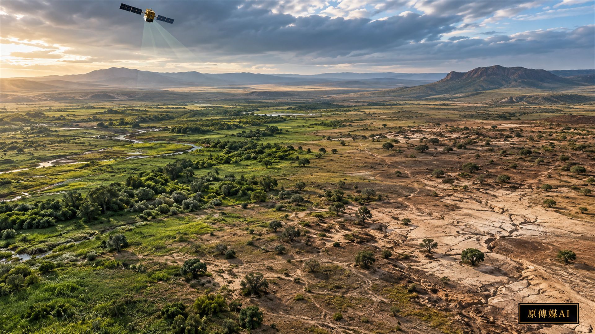
If satellite imagery shows a dry grassland becoming greener than it was forty years ago, the change looks encouraging: more plants, more carbon uptake and ecological recovery. A study published in *Nature Climate Change* on September 10, 2026, warns that a better average does not mean a more stable system. Across several global leaf area index data sets from 1982 to 2020, drylands continued to green while interannual variability increased over roughly 82 percent of the world's drylands.
The finding is easier to understand through household income. A higher average income does not ensure security if the best year is richer while the worst year becomes poorer. Drylands can behave similarly. The study found rising upper LAI values and falling lower values: good years became better and bad years worse. For people relying on pasture, wild plants, water and seasonal production, the crucial risk is often not the average condition but whether they can survive the worst year.
The researchers identify stronger vegetation sensitivity to rainfall variation as an important driver of rising interannual variability. A greener dryland may therefore depend more heavily on whether rain arrives at the right time. If rainfall is scarce, late or concentrated in the wrong period, vegetation lows may fall further. Carbon models that emphasize the long-term greening trend may then underestimate what extreme drought years do to carbon uptake and ecosystem services.
Existing dynamic global vegetation models did not fully reproduce the observed combination of continued greening, greater variability and diverging upper and lower bounds. That does not make models useless; it reveals a blind spot. If real vegetation responds more sharply than models expect, forecasts of carbon sinks, forage, land degradation and ecological transitions carry greater uncertainty.
This is why Two-Eyed Seeing cannot relegate local knowledge to a cultural supplement. Satellites can observe large areas across borders quickly. Pastoralists, farmers, hunters and long-term residents recognize stability differently: a seasonal stream filling later, a grass drying first, livestock moving earlier, apparently green ground failing under use, or abundant plants losing nutritional value. LAI alone may not show any of these consequences.
The valuable system is neither satellites replacing local observation nor local experience rejecting satellites. It connects scales. Satellite records can identify where variability has increased unusually, while local records explain what that variation means for people and ecosystems. Repeated reports that a pasture has become unreliable can also prompt researchers to test whether remote sensing missed species composition, soil moisture or grazing pressure.
Taiwan's mountains, valleys and eastern farming and grazing areas may not be classified as typical global drylands, but the problem of normal averages with harsher extremes still matters. Changing rainfall timing, alternating drought and heavy rain, and unstable slope moisture can weaken the meaning of average annual rainfall. Indigenous agriculture, gathering and forest management may miss the lows that govern real risk if they rely on one annual average.
Artificial intelligence can help in three ways. It can combine long satellite LAI records with rain, soil moisture and field observations to find places where the mean rises while the minimum worsens. It can support local reporting through photographs, voice or short observations about early drying, delayed water or changed livestock movement. It can also display model uncertainty instead of producing one deceptively exact risk score.
Governance still determines who gets to define improved land. A carbon market may label a place healthier because average greenness or carbon uptake increased, while local communities experience less reliable water, fewer edible plants or deeper forage lows. Ecological indicators must connect to users' needs or a beautiful global greening map can hide local vulnerability.
The title “Greening masks stability loss” captures the problem precisely. In a changing climate, danger appears not only as decline but also as volatility concealed by a rising mean. Asking whether land is greener this year can obscure the more consequential question: is the land still reliable?
For Indigenous and local communities, reliability often fits daily decisions better than an average. When to sow or move, which water source lasts through the dry season and which plant remains in a bad year are forms of knowledge about stability. When four decades of satellite data begin to see the same issue, the meaningful relationship between science and traditional knowledge is not that one proves the other. Together they can return the world beyond averages to the center of decisions.
Prepare for the worst years, not only a greener average
Interannual variability is not an abstract statistic. It may mean a rainy season starts weeks late, grazing time shrinks, a fast-growing species fails in heat or land takes longer to recover after consecutive dry years. Monitoring should therefore show mean trends, variability, historical lows and the duration of anomalies. A management plan that counts average greenness alone may celebrate a high year while missing food, water and income risks in a low one.
Adaptation changes accordingly. Local teams can first identify resources most exposed to lows, such as critical water points, forage windows, seed sources, wild foods and travel routes. Rain, soil moisture, field photographs and user observations can then support thresholds for early adjustment. Actions may include storing water, changing grazing pressure, retaining resting areas, spreading gathering pressure or conducting community patrols. People who bear the consequences must be able to revise the thresholds.
Carbon and restoration projects should not infer long-term resilience from one year of greening. Funding that rewards short-term vegetation gains can overlook water, species composition and low-year risk. A fuller assessment states uncertainty and distinguishes what observations, models and local reports each support. Artificial intelligence can compare long series and locate anomalies, but local managers must determine which changes matter to livelihood or culture.
The findings also do not mean every dryland will change in the same way. Data scale, vegetation, rainfall, land use and management history affect interpretation. Greater variability in one region cannot establish inevitable degradation elsewhere. Public communication should describe the satellite result as a risk signal to track, not a universal prophecy.
Monitoring should also record recovery after a low. The same fall in greenness can impose very different time pressures and coordination costs on different communities.
Yuan Media AI | Continue by role
Choose your role to view follow-up questions designed around its responsibilities.
Sources and further reading
Role-Driven Inquiry
Yuan Media AI | Guided Questions by Role
Select a role first, then review the complete questions from that perspective; clicking a question will display Yuan Media AI’s response in real time.
Select a role
Dryland ecologist perspective
Examine the article's evidence, governance boundaries, data rights, and actionable steps from the perspective of a Dryland ecologist perspective.
Choose a question
AI use and content-safety disclosure
This English edition is an AI-assisted translation based on official and research sources, with established facts, open questions and analysis kept distinct.