When Cell Phones Have No Signal, How Do Satellites Know Where You Are? Behind a 406 MHz Distress Beacon Is a Multinational Relay for Saving Lives
Original Chinese title: 手機沒有訊號,衛星怎麼知道你在哪裡?一顆 406 MHz 求救訊標背後,是跨國接力的救命流程
406 MHz distress beacons relay emergency alerts through Cospas-Sarsat satellites, ground receiving stations, and SAR coordination centers; registration and proper operation supply vital context, while Return Link Service confirms alert reception and routing without guaranteeing immediate rescue arrival.
Lawrence Lee|科技媒體人、科幻評論者、太空科學教育工作者
Technology journalist, science fiction critic, and space science educator focusing on space technology, telecommunications, science communication, and how public technology can be transformed into accessible, actionable knowledge.
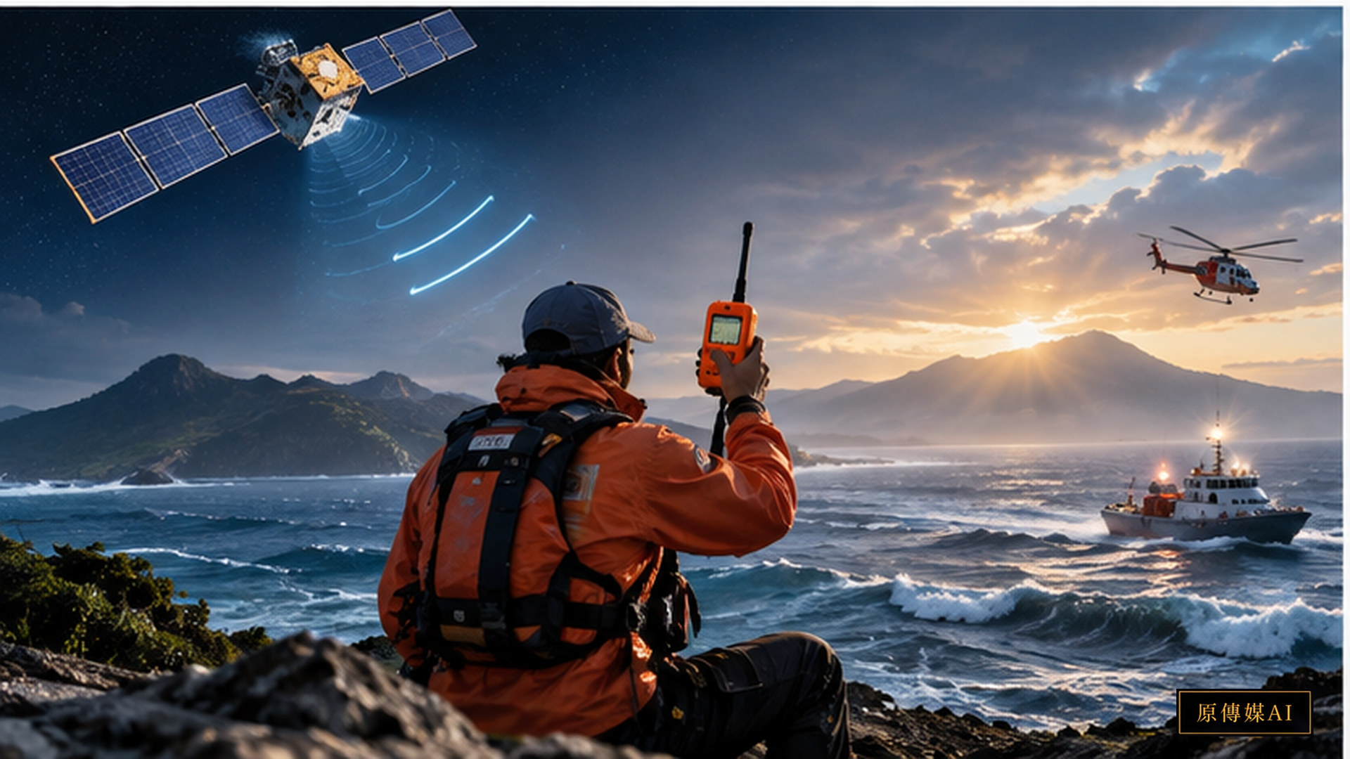
Cellular phones have become ubiquitous everyday emergency tools, but the moment an individual steps outside base station coverage, a fundamental vulnerability is laid bare: a mobile phone must first connect to a terrestrial telecommunications network before it can transmit coordinates or messages. For distant-water fishing fleets, alpine expeditions, remote coastlines, or general aviation flights, the decisive factor in survival is rarely battery percentage, but whether an independent emergency signaling channel exists that operates completely free of local terrestrial cellular infrastructure. The 406 MHz emergency distress beacon was engineered specifically for this extreme operational reality.
A case documented by NASA on September 10, 2026, recounted the 2024 ordeal of a five-person fishing expedition in the Gulf of Mexico whose vessel abruptly capsized forty miles offshore. The catastrophic sinking unfolded with such velocity that crew members had zero time to deploy conventional marine VHF radios. What ultimately averted tragedy was a personal locator beacon (PLB). Upon activation, the device broadcast distress signals that were detected by search and rescue satellites, downlinked to ground stations, and routed directly into civil rescue coordination networks. The crux of this incident is not an endorsement of a specific commercial brand, but the public infrastructure it illuminated: an unbroken chain of life safety connecting human, satellite, mission control, and frontline first responders.
The 406 MHz frequency is not a standard walkie-talkie channel; it is the international digital distress beacon frequency managed by the Cospas-Sarsat international humanitarian satellite system. According to NOAA SARSAT specifications, certified devices comprise Emergency Position Indicating Radio Beacons (EPIRBs) for maritime vessels, Emergency Locator Transmitters (ELTs) for aircraft, and Personal Locator Beacons (PLBs) for terrestrial individuals. Each beacon transmits an encoded digital message containing a unique identification number (UID). When equipped with onboard GNSS receivers, beacons embed precise geographic coordinates into the broadcast burst; even without GNSS positioning, the orbital satellite constellation computes location through Doppler and time-difference-of-arrival processing to trigger SAR operations.
The core engineering architecture is fundamentally an orbital-terrestrial relay. Once activated, the beacon's pulsed 406 MHz bursts are intercepted by satellites carrying dedicated SAR payloads. The contemporary MEOSAR (Medium Earth Orbit Search and Rescue) space segment utilizes SAR repeaters hosted on navigation constellations including US GPS, European Galileo, and Russian GLONASS, ensuring multiple orbital spacecraft simultaneously view nearly every location on Earth. Signals received in orbit are instantaneously downlinked to ground receiving stations (LUTs) and routed to Mission Control Centers (MCCs), where messages are decoded, validated, filtered, and dispatched to the designated Rescue Coordination Center (RCC) or national SAR point of contact. While the user holds a compact plastic device, behind it operates a synchronized global apparatus of international standards, navigation constellations, satellite ground stations, and sovereign emergency services.
This operational chain explains why official beacon registration is paramount. NOAA emphasizes that when a 406 MHz beacon's unique identifier is registered with owner profiles, vessel or aircraft descriptions, and emergency contact details, the MCC can immediately append that vital contextual metadata to the distress alert. First responders do not merely receive an abstract coordinate blip; they know the vessel's hull color, the number of persons on board, who to contact on shore for verification, and whether the signal might stem from accidental activation. Purchasing an emergency device does not complete safety preparedness; maintaining accurate registration records is what binds personal equipment into the public rescue machinery.
A critical technological myth must be dispelled: a 406 MHz beacon is not a magic button guaranteeing immediate physical rescue. Severe weather, maritime sea states, alpine terrain masking, device antenna orientation, battery charge, positional accuracy, transit distances, and local SAR asset availability all dictate operational outcomes. Modern beacons equipped with Return Link Service (RLS) can provide visual confirmation that the distress burst has been received by satellites, computed, and routed to civil authorities; however, this operational acknowledgment does not mean a rescue helicopter has arrived on scene or even departed base. Disseminating this operational distinction is essential for outdoors and maritime safety education.
When examining this technology within Taiwan and Indigenous mountainous townships, the "last mile" of emergency response takes center stage. Remote mountain passes, rugged coastlines, offshore islets, and tribal communities frequently encompass communication dead zones, landslide-prone road arteries, rapid meteorological shifts, and extended rescue travel times. Satellite technology provides long-range alert capabilities, yet local Indigenous knowledge provides irreplaceable environmental understanding: which river valley becomes impassable after flash flooding, which ridgeline causes radio shadows, which coastal stretch is buffeted by monsoonal swells, and where natural rock shelters offer safe emergency refuge. Optimal disaster preparedness does not replace localized experiential knowledge with orbital satellites; it fuses them together.
This represents the embodiment of Two-Eyed Seeing in disaster technology. Engineering systems provide standardized orbital telemetry, precision geolocations, automated message routing, and cross-border coordination; fishers, alpine mountaineers, tribal residents, and frontline rescue teams possess intimate mastery of oceanic swell patterns, topography, seasonal microclimates, and ground truth. Only when both knowledge systems are integrated into safety education and emergency drills will equipment cease to be an unused talisman, and local knowledge will no longer remain an oral resource unreachable by remote rescue operations.
For everyday users, practical safety literacy begins with fundamental operational protocols: Under what life-threatening criteria should a beacon be activated? Has the beacon been registered in the appropriate national registry? Are battery service dates and self-test schedules compliant with manufacturer requirements? Do expedition companions know where the device is stowed and how to deploy it? Once an alert is active, how does one maintain visibility and conserve body heat? Mastering these basic practices saves lives far more reliably than marveling at satellite technology.
From a space systems perspective, 406 MHz search and rescue provides an outstanding demonstration of public-interest technology. Discussions of space technology typically gravitate toward heavy rockets, Earth observation imagery, or commercial broadband, yet the most profound virtue of space infrastructure is maintaining connectivity during human vulnerability on Earth. When cellular networks vanish, a compact beacon functions not because it is singularly powerful, but because it is integrated into a global humanitarian network. What ultimately saves human lives is an unbroken, accountable chain of care spanning from orbit to the ground.
Transitioning from "Buying Equipment" to a "Functional Rescue System"
In safety education, the most frequent failure mode is not a lack of hardware, but the disconnection between equipment, registration, and operational protocols. Individuals purchase beacons yet neglect to update contact registries for years, let batteries expire, or believe one simply presses a button in an emergency without understanding self-test functions versus live distress transmissions. NOAA reiterates registration because SAR coordinators must translate an anonymous electronic signal into a concrete person, vessel, or flight profile. This procedural step, though bureaucratic on paper, constitutes the critical intelligence layer that accelerates mission planning.
For regional disaster preparedness, 406 MHz beacons should be embedded into comprehensive trip-planning protocols rather than treated as an afterthought. Prior to departure, teams should document expedition rosters, intended routes, estimated return windows, and emergency check-in contacts. When venturing into offshore waters or alpine terrain, leaders must verify that the selected beacon type matches the mission, that it is properly registered, and that battery diagnostics pass. Sharing this context with family and local emergency authorities ensures that when an alert fires, dispatchers receive immediate mission context.
Technological innovations are addressing user uncertainty. The virtue of Return Link Service (RLS) is providing compatible beacons with a confirmed downlink: a visual indicator affirming that the alert was captured, calculated, and dispatched to government authorities. For an individual floating in a life raft or trapped on a freezing ridgeline, that confirmation alleviates the terrifying dread of wondering if anyone heard their cry. Yet safety education must firmly stress that receiving an RLS confirmation does not mean rescue forces are on site, nor does it allow one to abandon survival efforts. Staying warm, maintaining visual markers, rationing energy, and exercising sound field judgment remain imperative.
If Taiwan aims to elevate public rescue literacy, satellite alerting should be explained alongside Coast Guard, fire department, mountain rescue, and fisheries communication systems. Institutional jurisdictions and equipment standards vary, meaning US registration workflows cannot be duplicated verbatim; however, the architectural principles of unique identification, accurate registration, verified coordinates, and inter-agency dispatch are universal. Mature disaster risk education equips citizens to understand what technical network they are engaging, where alerts travel, and what operational steps follow, rather than merely remembering a brand name.
From the standpoint of Indigenous townships and rural communities, local trail knowledge can serve as valuable search and rescue intelligence. Common telecommunication dead zones, seasonal landslide corridors, ancestral hunting trails, water points, natural shelter caves, and alternative descent routes can be documented through collaborative partnerships between communities and emergency services, respecting community sovereignty and safety protocols. Satellite beacons provide high-reliability signals declaring "I am here and need help"; localized Indigenous knowledge supplies the immediate context explaining "what this environment is and how to reach it safely." Integrating both forms the foundation of truly resilient rescue systems.
Sources and Further Reading
Role-Driven Inquiry
Yuan Media AI | Guided Questions by Role
Select a role first, then review the complete questions from that perspective; clicking a question will display Yuan Media AI’s response in real time.
Select a role
Offshore fishers and remote travelers
Examine the article's evidence, governance boundaries, data rights, and actionable steps from the perspective of a Offshore fishers and remote travelers.
Choose a question
AI use and content-safety disclosure
This article was compiled from official and research sources; established facts, observational associations, institutional boundaries, and extended analyses are presented separately. The cover is an AI-assisted concept illustration.