A Camping Plan Opens a New Geoscience Lead: How Online Maps, an Innu Place Name, and Field Rocks Help Confirm an Ancient Impact Structure
Original Chinese title: 一趟露營規畫打開地球科學新線索:線上地圖、Innu 地名與野外岩石如何共同確認古老撞擊構造?
An online map first drew attention to a circular landform in remote Quebec, but field evidence such as shatter cones, breccia, and impact melt supports the impact interpretation. Innu participation in naming concerns land relationships and knowledge governance; it is not itself scientific proof.
陳錦瑜|台科大教授|開設聊天機器人與文化探索課程;關注詮釋台灣文化與國際趨勢、欣賞文化多樣性、發展聯合國 SDGs 全球公民意識及建立永續的全球夥伴關係
Professor at National Taiwan University of Science and Technology who teaches courses on chatbots and cultural exploration, interprets Taiwanese culture and global trends, values cultural diversity, advances UN SDGs global citizenship, and develops sustainable global partnerships.
# A Camping Plan Opens a New Geoscience Lead: How Online Maps, an Innu Place Name, and Field Rocks Help Confirm an Ancient Impact Structure
It Began with a Circular Landform on a Camping Route
In 2024, an observer planning a camping trip noticed a nearly circular landform on a public online map of a remote area on Quebec's Côte-Nord. Centered near Lake Marsal, its ring-like outline stood out in satellite imagery and digital elevation data. The observation shows how public maps can widen the doorway to citizen observation, but a circle is not automatically an impact crater. Glaciation, volcanism, salt structures, erosion, and tectonic deformation can create similar forms. A map can identify a candidate site; it cannot by itself determine how that site formed.
Evidence Layer One: Online Images Pose the Question
An initial geological inquiry often compares shape, relief, existing geological maps, and accessibility. The apparent scale, about 25 kilometers across, made an on-site examination worthwhile, while public data allowed people from different backgrounds to look again at a remote landscape. Image resolution, vegetation, shadow, and algorithmic stitching can nevertheless create visual illusions. A responsible citizen-science process preserves the original observation, identifies the data date and coordinate precision, and frames “it looks like” as a falsifiable hypothesis rather than publishing a conclusion in advance.
Evidence Layer Two: Rocks Must Preserve the Physics of Hypervelocity Impact
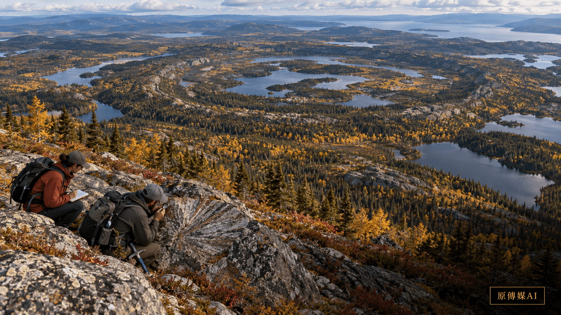
During an October 2025 expedition through difficult terrain, researchers searched for diagnostic geological evidence. The conference abstract reports shatter cones and reinterprets the previously mapped Marsal Breccia as an impact-melt rock possibly as much as 50 meters thick. The regular striations of shatter cones are associated with shock and are more discriminating than surface appearance. Breccia, melt textures, and rock relationships must still be examined through thin sections, chemistry, and regional stratigraphy. Confirmation does not rest on a photograph of one unusual rock; it comes from multiple reproducible observations pointing to the same mechanism.
About 390 Million Years Is a Preliminary Framework, Not an Exact Birthday
The team used paleomagnetic direction to propose an age near 390 million years, with a range of roughly 370 to 400 million years. Preliminary zircon LA-ICP-MS results place the youngest ages in the range of 350 to 400 million years. The convergence supports a framework for an ancient impact, but the evidence appears in a conference abstract and remains preliminary. More mineralogy, isotope dating, structural mapping, and peer review are needed to narrow the age and establish relationships among rock units. Writing an approximate interval as though the event occurred on a precise date would manufacture certainty that the data do not contain.
Evidence Layer Three Is Not Geological Evidence: Place-name Governance Answers a Different Question
The abstract states that the name Uhackatik was selected after discussions with the Ekuanitshit Innu council. That participation matters because naming concerns who has authority to describe land, how researchers enter a place, and how knowledge is returned. The linguistic or cultural origin of a name cannot substitute for shatter cones, melt rock, or geochemical evidence, and it should never be presented as scientific proof of an impact structure. Conversely, completing geological analysis does not automatically grant researchers the right to name a place or disclose every location. Scientific interpretation and relationships to land should respect one another while remaining analytically distinct.
Two-Eyed Seeing: Put Permits, Place Names, and Rock Evidence into One Governance Process
Two-Eyed Seeing here does not treat oral tradition as an instrument reading. It allows knowledge systems to contribute their own strengths while jointly establishing procedure. Geology can test shocked minerals, melt textures, and age. Innu communities can define naming, access, sensitive places, local history, and what information is appropriate to release. Before sampling, a project should agree on permission, sample custody, disclosure of images and coordinates, translation, and return of findings. This prevents a citizen discovery from becoming a race by outsiders to name a place, while ensuring community governance is not misrepresented as a substitute for empirical evidence.
Citizen Observation Needs a Traceable Handoff to Become Science
A sound handoff preserves the original screenshot and date, the map service used, the reason for interest, communications with geological institutions, and the way field teams evaluated safety and sampling value. Expeditions in remote areas are costly and carry weather and communication risks; sites may also be culturally sensitive. Readers should not be encouraged to trespass or remove rocks. Citizens can submit leads, compare public mapping, and organize literature. Fieldwork should be undertaken by a permitted team with the necessary safety and geological competence.
Why Impact-Structure Records Must Be Conservative
Erosion, plate tectonics, and sedimentation erase many ancient impact traces, making every candidate exciting. For precisely that reason, international research normally requires diagnostic shock-metamorphic evidence before calling a structure confirmed, rather than relying on circular topography. Premature naming and publicity can put an incorrect interpretation into teaching, tourism, and local expectations; excessive secrecy can prevent replication. A better approach discloses the stage of evidence: candidate, field support, laboratory confirmation, peer review, and database acceptance each carry a different degree of certainty.
The Story Connects Three Kinds of Responsibility
Online maps allow more people to notice anomalies. Field and laboratory work convert an anomaly into a testable geoscientific argument. Innu participation requires research to be accountable for relationships to land and for naming authority. These are not the same kind of evidence, nor are they competitors. When reporting distinguishes them, readers can appreciate civic curiosity, understand the rigor of scientific verification, and recognize the governance ethics required when research takes place on another people's land.
After a Public Discovery, How Can Scientific Tourism Avoid Harm to the Site?
Once a circular structure enters the news, searches, expedition videos, and tourism fantasies can spread faster than the research. Public coordinates do not mean that roads, campsites, or sampling rights are open. Managers and researchers should distinguish an approximate location suitable for release, access routes requiring permission, and points withheld for safety, cultural, or geological-conservation reasons. Media should avoid precise coordinates, photographs of fragile outcrops, and language encouraging visitors to collect meteorites. Rocks in an impact structure are not souvenirs. Removing them destroys stratigraphic relationships and can deprive later researchers of essential context.
More mature public education can use small-scale maps, three-dimensional terrain, approved sample imagery, and a clear evidence ladder to show how a candidate shape moves toward field verification. Displays and websites should state the data version, preliminary versus reviewed conclusions, naming principles, and a local contact. If a guided visit is developed, Innu communities should help decide the story, language, carrying capacity, and return of benefits rather than being left to manage crowds after a scientific story becomes popular. Protecting a site does not oppose open science; it gives every released data point a condition of use and an accountable owner.
A class or citizen group can practice the method on a known, nonsensitive landform: list alternative causes for a circle, consult geological maps and literature, and identify what field evidence would discriminate among hypotheses. Success means posing a falsifiable question, documenting data limits, and knowing when to hand a lead to experts—not being first to announce a crater. Leads involving private, protected, or traditional land require contact with the responsible institution and local community before release. The record should also preserve failed hypotheses and reasons for rejecting them, allowing later observers to understand how knowledge formed instead of seeing only a success story.
Continue by Asking from Your Role
- If you are among General readers and map observers, continue by asking about evidence boundaries, governance responsibility, and the next verifiable action.
- If you are among Geoscientists and impact-structure researchers, continue by asking about evidence boundaries, governance responsibility, and the next verifiable action.
- If you are among Innu community members and place-name governance participants, continue by asking about evidence boundaries, governance responsibility, and the next verifiable action.
- If you are among Citizen-science, natural-education, and public institutions, continue by asking about evidence boundaries, governance responsibility, and the next verifiable action.
Sources and Further Reading
Role-Driven Inquiry
Yuan Media AI | Guided Questions by Role
Select a role first, then review the complete questions from that perspective; clicking a question will display Yuan Media AI’s response in real time.
Select a role
General readers and map observers
Examine the article's evidence, governance boundaries, data rights, and actionable steps from the perspective of a General readers and map observers.
Choose a question
AI use and content-safety disclosure
This article was compiled from official and research sources. Established facts, limitations, local context, and analysis are presented separately. The cover is an AI-assisted concept illustration.