Reading Rain With the Bridge and River: How Koushe Bridge Reconstruction Links Flood Safety, Earthquake Resilience, and Community Access
Original Chinese title: 讓橋梁與河流一起讀雨勢:口社大橋改建如何把防洪、耐震與部落通行接在一起?
Koushe Bridge reconstruction concerns both flood conveyance and the routes residents rely on for school, care, and farm transport; engineering data and local river observations should be read together.
雙向知識實驗室;諮詢委員:陳勝
Consultant: 陳勝
Consulting adviser Chen Sheng is a former Maolin township chief, a Maolin elder of the West Rukai Zhuokou River group, general consultant and cultural director of the Taiwan Indigenous Medicinal Plant Cultural Journey television series, and a mother-tongue teaching-materials editor. The Two-Way Knowledge Lab focuses on Indigenous knowledge, cultural data sovereignty, AI applications, and two-way knowledge translation.
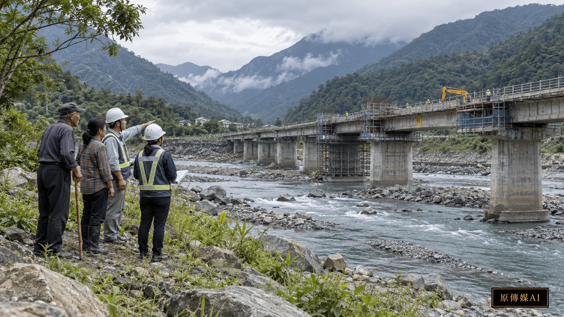
# Reading Rain With the Bridge and River: How Koushe Bridge Reconstruction Links Flood Safety, Earthquake Resilience, and Community Access
Two ways to read a bridge
After rain, one observer sees bridge piers and river level; another asks how much longer a school, clinic, or farm trip will take. Engineers need room for floodwater. Residents need a route that works beyond a map. In heavy rain the bridge may need to close for safety, but a closure without usable alternatives shifts risk to care and emergency transport. Reconstruction is both river management and public service.
An aging bridge under changing rain
TITV News reports that Koushe Bridge, linking Sandimen and Gaoshu in Pingtung, has served for nearly four decades. Sustained rain in July 2025 raised the Wuluo River and sharpened concern about bridge safety and flood conveyance. The reported design changes from five spans to four with single cylindrical piers, widens the deck from seven to twelve meters, and adds walkways and lighting. These are plans and intended functions, not measured outcomes of a completed bridge.
Piers are not isolated numbers
Fewer obstructions in a channel could reduce local blockage, driftwood accumulation, and scour. Actual performance depends on span layout, deck clearance, riverbed change, banks, and design flood assumptions. One fewer span cannot guarantee that water will never reach the bridge. Engineers should disclose rainfall, flow, sediment, and debris assumptions, and explain closure rules for events beyond design. The Seventh River Branch lists separate dredging work on the reach between Guangfu and Koushe bridges. That is river-management context, not proof of the new bridge’s performance.
Seismic and flood safety together
Seismic resilience is more than a label on a plan. Foundation capacity after scour, pier connections, and the ability to inspect quickly after an earthquake affect when a road can reopen. Rain and earthquakes may occur in sequence, while riverbed conditions change. Public reports state the project aims to improve flood, seismic, and road safety, but do not provide a full design calculation for independent performance assessment. Seismic resilience remains a goal to document and verify, not a proven guarantee.
Daily routes during closure
TITV reports a full closure during on-site reconstruction. CNA reports alternatives including Guangxing and Fubang bridges. A bridge shown on a map does not automatically provide access. Residents need real travel times at peak hours, ambulance dispatch plans, dependable school routes, farm delivery schedules, and the safety of detours in rain. Agencies should test routes with regular users before work begins, rather than rely on one detour map.
What communities know about the river
Long-term river-valley residents may recall where water first rose, where wood jammed, and which small route failed first. Such memory identifies places and times for engineers to check, but does not replace hydrologic calculations. Indigenous knowledge is not free data for unrestricted publication. Knowledge holders should decide what can be recorded, geolocated, and used. When monitoring differs from local observation, compare gauge location, event timing, and riverbed change before dismissing either account.
Two-Eyed Seeing: two-way knowledge: design drawings meet route maps
A meeting can place flood simulations, pier layout, closure thresholds, and construction schedules on the same table. Residents, schools, clinicians, logistics providers, and river observers can mark what each means in practice. Engineers should explain assumptions and uncertainty; communities can identify routes that fail under specific rain. Disagreements should be recorded and answered. Consultation is not asking an elder to endorse a drawing. Sensitive location information needs consent before public release.
How to evaluate the work
Before and after completion, teams could compare debris, scour, closures, and inspection time under comparable water levels, and test pedestrian space and lighting. During construction they can track trips from villages to schools, clinics, and collection points, including cost and disruption. One year without damage cannot alone prove bridge success because rain differs each year. If detours impose heavy costs on some households, services should change during construction.
Keeping updates accountable
Construction progress, temporary closures, and reopening conditions should be updated through channels residents can access, with timestamps. A patient transfer needs a contact who can verify vehicle passage, not only a generic detour notice. Farm shippers need advance notice of work phases and truck limits. If heavy rain changes worksite safety, authorities should explain the basis and next update time. Linking service contacts, road status, and river information makes resilience usable.
Let users test construction timing
Contractors schedule by project phases, while residents live by school terms, appointments, harvests, and ceremonies. Early coordination can reduce conflicts between long closures and essential travel periods; where timing cannot change, mitigation should be stated. Community involvement should begin with scheduling, with records of requests, responses, and reasons for decisions.
Explain closure thresholds
Residents need more than a generic rain warning. Who closes the bridge, based on what water level, rainfall, observation, or order? If instruments fail, a manual report and backup decision path are needed, including nights and holidays. Ambulance, school, and logistics operators need early notice. Thresholds can change with field evidence, but every change should have a recorded reason.
Upstream and downstream matter
Dredging, bank works, riverbed levels, and debris management can change how water reaches the piers. Treating the bridge as an isolated structure misses upstream and downstream flow and ecology. River and bridge agencies should share baseline data and construction monitoring and explain their respective duties. New scour locations require reach-wide review, even if the deck has been widened.
Measuring equitable access
Average detour time can hide unequal access. A route usable by drivers may fail pedestrians, older people, wheelchair users, or workers without flexible hours. Measure private, public, and emergency travel separately, and invite reports on lighting, pavement, ponding, and transfers. A village facing long clinic trips may need shuttle or mobile services, not another sign. Publish area-level findings while protecting patient routes.
Completion is not the end
After opening, budgets are needed for routine inspection, riverbed observation, and checks after extreme events. Residents reporting cracks, ponding, or rail damage need a responsible contact and response time. If community observations enter monitoring, agencies should explain how they were used; citizen reports cannot replace professional maintenance. Public maintenance records are more informative than a one-day opening announcement.
Uncertainty can be public
A design flood does not predict every future storm, and detours may fail in heavy rain too. Stating these limits alongside graded response plans is more responsible than claiming permanent safety. Publish design assumptions, inspection dates, closure and reopening records, and unresolved issues. Communities can keep contributing observations when they can see how reports are handled. Managing uncertainty makes decisions traceable.
Public value beyond completion
Koushe Bridge should be evaluated through both rainy seasons and ordinary days: flood passage, post-earthquake inspection, and continuity of school and medical trips. Indigenous and other local residents are not scenery in a completion photograph. They use the road, observe the river, and bear detour costs. Turning their questions into public design and service measures is how a bridge can connect both banks and decision-making.
Continue asking by role
- Tribal or community resident: Ask about evidence, limits, and feasible action.
- Bridge or river engineer: Ask about evidence, limits, and feasible action.
- Disaster or public works officer: Ask about evidence, limits, and feasible action.
- Transport, medical, or agricultural logistics provider: Ask about evidence, limits, and feasible action.
Sources and further reading
Role-Driven Inquiry
Yuan Media AI | Guided Questions by Role
Select a role first, then review the complete questions from that perspective; clicking a question will display Yuan Media AI’s response in real time.
Select a role
Tribal or community resident
Examine the article's evidence, governance boundaries, data rights, and actionable steps from the perspective of a Tribal or community resident.
Choose a question
AI use and content-safety disclosure
This article draws on official and research sources. Evidence, limitations, and analysis are distinguished. The cover is an AI-assisted concept image.