Satellites Can See Grass, but Not When It Is Time to Move: Rethinking Knowledge Rights in the 2026 Rangelands Year
Original Chinese title: 衛星看得見草,卻看不見「什麼時候該走」:2026 牧地年正在重寫草原監測的知識權
The International Year of Rangelands and Pastoralists is forcing remote-sensing governance to confront what satellites cannot see: mobility rules, customary access, seasonal judgment and knowledge rights.
Two-Eyed Seeing Lab
Consultant: 高德生
Two-Eyed Seeing Lab.
Introduction
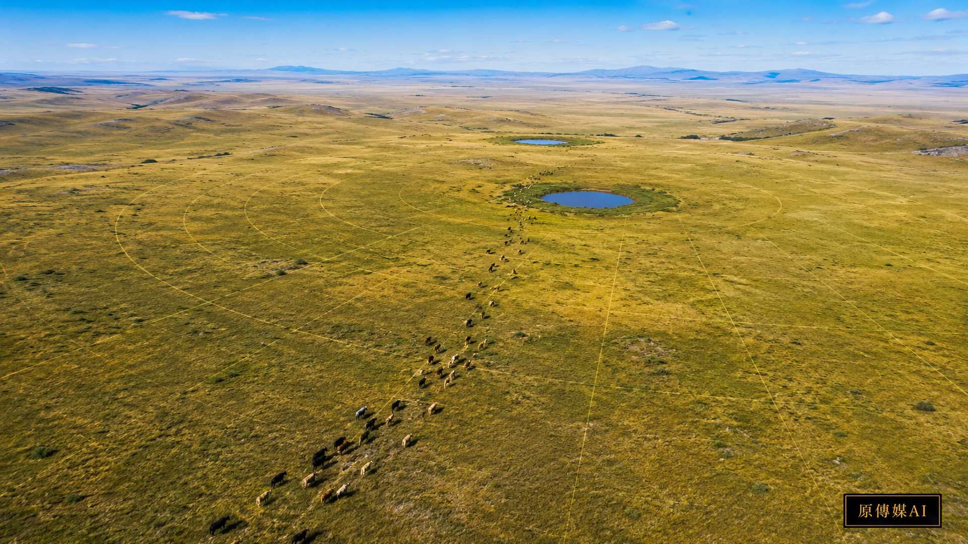
The United Nations designated 2026 as the International Year of Rangelands and Pastoralists, led by FAO. The initiative brings attention to livelihoods, mobility, access to land and natural resources, customary governance, and Indigenous and local knowledge. It reframes rangelands as complex social-ecological systems rather than empty or underused space.
Key facts
- The 2026 international year highlights rangelands, pastoral livelihoods, mobility and customary governance.
- UNCCD calls for management strategies that combine scientific research with traditional and local knowledge.
- ILRI has combined more than 100,000 pastoralist observations in northern Kenya with remotely sensed data.
- Pastoralists are not automatically Indigenous Peoples; an Indigenous framing is appropriate only when identity, rights and governance context actually support it.
A Two-Eyed Seeing angle
Satellites are excellent at measuring vegetation indices, land cover, drought signals and water points. They do not automatically know whether a place may be entered now, whether a route is governed by customary rules, what animals prefer in a specific season, or whether apparently green land should be resting. The question is not technology versus tradition but who has authority to define the meaning of the map.
The 2026 rangelands year puts an overlooked land system at the center
Grasslands, savannas, shrublands, deserts, mountains and open forests support livestock, biodiversity and local economies. The 2026 international year brings a land system often described as low-density into the center of policy and asks governments to see mobility, water cycles, habitat and cultural governance together. Treating this issue as a single technology or a single rule would miss the real institutional friction. Public decisions must consider data quality, implementation cost, human choice, local capacity and responsibility together. The critical question is not merely whether data exist, but who interprets them, under what conditions they remain valid, and who bears the consequences of error.
Satellites can see greenness, but green does not mean available now
Remote sensing can rapidly show greenness, surface temperature, rainfall anomalies, bare ground and water. Yet a green pixel may represent short-lived plants, invasive species, immature forage or an area intentionally left unused. Management requires interpretation beyond the image. Treating this issue as a single technology or a single rule would miss the real institutional friction. Public decisions must consider data quality, implementation cost, human choice, local capacity and responsibility together. The critical question is not merely whether data exist, but who interprets them, under what conditions they remain valid, and who bears the consequences of error.
Mobility is a risk-management technology, not backwardness
In highly variable drylands, mobility lets animals follow water and forage across time and space and prevents continuous pressure on one location. Policies that value only fixed administrative boundaries can damage a system whose resilience depends on movement. Treating this issue as a single technology or a single rule would miss the real institutional friction. Public decisions must consider data quality, implementation cost, human choice, local capacity and responsibility together. The critical question is not merely whether data exist, but who interprets them, under what conditions they remain valid, and who bears the consequences of error.
One hundred thousand local observations show why remote sensing needs ground language
ILRI’s northern Kenya work is important because pastoralists’ reports about grass, water and livestock resources were combined with remote sensing. Land use cannot be inferred from pixels alone; accessibility, timing and actual use provide essential ground language for the map. Treating this issue as a single technology or a single rule would miss the real institutional friction. Public decisions must consider data quality, implementation cost, human choice, local capacity and responsibility together. The critical question is not merely whether data exist, but who interprets them, under what conditions they remain valid, and who bears the consequences of error.
Knowledge rights ask who is allowed to define what land means
If authorities label land degraded, idle or available using satellite data alone, technology can become a tool for reallocating power. If all measurement is rejected, however, long-term comparison is lost. Two-Eyed Seeing requires traceable agreements about indicators, community-defined classes, access to data and procedures for correcting mistakes. Treating this issue as a single technology or a single rule would miss the real institutional friction. Public decisions must consider data quality, implementation cost, human choice, local capacity and responsibility together. The critical question is not merely whether data exist, but who interprets them, under what conditions they remain valid, and who bears the consequences of error.
Looking from global rangelands to Taiwan without forcing a pastoral identity
Taiwan should not import a pastoral identity into unrelated Indigenous contexts. The transferable lesson is methodological: when monitoring fire risk, hunting-area vegetation, slopes or water sources, local knowledge holders should help define which changes matter before sensing indicators are chosen. Treating this issue as a single technology or a single rule would miss the real institutional friction. Public decisions must consider data quality, implementation cost, human choice, local capacity and responsibility together. The critical question is not merely whether data exist, but who interprets them, under what conditions they remain valid, and who bears the consequences of error.
Yuan Media AI assessment
This development deserves attention because it turns an abstract rule into an interface that can affect ordinary life. Technology reporting often focuses on devices or new terminology, while governance happens through repair counters, sampling points, land classifications, workplaces and data permissions. A Two-Eyed Seeing approach keeps professional evidence verifiable while allowing lived and local experience to shape context and problem definition; neither “AI says,” “experts say,” nor “tradition says” should end the discussion.
What to watch next
Watch four things: measurable implementation rather than declarations; whether small, remote or resource-limited systems can actually comply; whether technical standards permit independent scrutiny and appeals; and whether affected people participate when the problem is defined rather than being invited only after decisions have been made.
Sources
- FAO|International Year of Rangelands and Pastoralists 2026 (2026)
- UNCCD|Global Land Outlook Thematic Report on Rangelands and Pastoralists (2024)
- ILRI|Integrating local crowdsourced and remotely sensed data to characterize rangeland resource use in extensive pasturelands (2018-10)
Editorial principle: This article is based on publicly verifiable primary sources. Cultural or local knowledge is discussed only where substantively relevant and is not used as a substitute for scientific or professional evidence.
Supplement: policy design cannot assume an average user
New rules land unevenly. Large organizations can draw on legal, engineering, procurement and data teams, while small or remote services may have only a few people covering many functions. Fairness therefore means more than applying the same rule to everyone. It requires checking whether different users actually have the tools, information, time, logistics and alternatives needed to comply. If a system demands highly specialized procedures without affordable shared infrastructure, the highest burden can fall on those with the fewest resources.
AI use and content-safety disclosure
This article was translated with AI assistance and reviewed through the Yuan Media AI editorial workflow.