Rangelands Are Not “Unused Farmland”: COP17 Is Reopening the Question of Mobility, Seasonal Knowledge, and Who Defines Land Degradation
Original Chinese title: 草原不是「沒拿來種田的土地」:COP17 正在重新討論牧民的移動、季節知識與誰有權定義土地退化
UNCCD COP17 is underway in Ulaanbaatar with rangelands and pastoralists inside the formal policy agenda. A scheduled August 26 session will connect Earth observation, AI, drought monitoring, and data governance with local priorities.
鄭淑禎
鄭淑禎 | Full-time Assistant Professor at Shih Chien University | Feature writer focused on industrial transition, agricultural value chains, local economies, and technology applications.
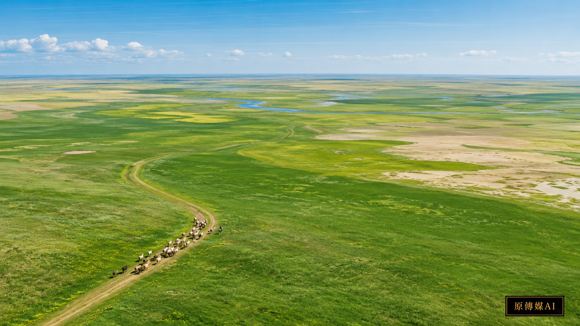
Rangelands Are Moving from Background Scenery into the Formal Agenda
UNCCD COP17 is taking place in Ulaanbaatar, Mongolia, from August 17 to 28, 2026. As of August 24, the conference is still underway, so it is too early to describe future sessions or final decisions as completed outcomes. What is already clear is that rangelands and pastoralists are part of the formal policy agenda. UNCCD states that rangelands cover more than half of Earth's land surface, directly support the livelihoods of around 500 million people, and provide roughly one-sixth of global nutrition needs. COP17 also takes place during the International Year of Rangelands and Pastoralists 2026. UNCCD | COP17
These figures matter because many land systems are easy to map when boundaries, uses, and outputs are fixed. Pastoral systems are often deliberately mobile. Livestock move with water, rainfall, snow, forage, disease risk, and seasons. A place that appears “unused” at one moment may be resting; a route crossing an administrative boundary may be essential infrastructure for resilience.
Pastoralists and Indigenous Peoples Are Not Synonyms
Some pastoral peoples are Indigenous Peoples and some are not; many Indigenous food systems are based on farming, fishing, gathering, hunting, forests, or marine stewardship rather than pastoralism. Collapsing these categories erases legal status, history, and distinct rights.
Yet many communities share a governance problem: state and satellite systems tend to turn land into fixed grids and annual categories, while local knowledge is temporal and relational. It asks not only how green a pixel is, but when a place can be used, which water source dries first, what animals eat which plants, and how long a pasture needs to rest after a severe year.
The August 26 Knowledge-Systems Session Has Not Happened Yet
UNCCD has scheduled “Pastoralism and knowledge systems” for August 26, 16:30–18:00. On August 24 this is still a future session, not a completed outcome. Its official description says the dialogue will examine how Earth Observation and AI can support pastoral resilience while focusing on drought monitoring, rangeland management, data governance, access, responsible use, and gender-responsive climate information. UNCCD | Pastoralism and knowledge systems
The inclusion of data governance alongside AI accuracy is crucial. The issue is not only whether a model works, but who supplied its data, who can access outputs, who can correct errors, and whether information collected for resilience will later be used for enforcement or commercial purposes without consent.
One Color Called “Degraded” Can Misread a Mobile System
Remote sensing is indispensable for tracking vegetation, drought, soil moisture, and long-term change across large areas. But every indicator contains a definition of normal. A model that treats permanently high greenness as healthy may systematically misread seasonal drylands. A model that sees livestock concentration as pressure may miss the difference between a short migration stop and persistent overuse.
The reverse caution is also necessary. Historical pastoral practice does not automatically guarantee that every present stocking level is sustainable. Population, livestock numbers, fences, roads, mining, national borders, climate change, and markets can alter the space that once allowed mobility. Local and ecological knowledge must therefore ask causal questions together.
Two-Way Knowledge (Two-Eyed Seeing) Must Do More Than Provide Ground Truth
A weak participation model builds a classification first and later asks pastoralists whether it looks right. A stronger model starts with how local users divide seasons, recognize drought onset, identify warning plants, value different landscape units, and decide when movement is necessary. Those categories should influence what Earth-observation products are built in the first place.
If community knowledge shows that a seasonal resting area has been mislabeled as low productivity, the classification should be editable. If remote sensing reveals a multi-year decline that local memory did not identify as a concern, the finding should trigger joint investigation. Both knowledge systems must remain capable of changing the other.
Mobility Data Can Be Evidence and Risk at the Same Time
GPS tracks, water points, camps, and grazing records may improve drought models, but they can also reveal routes, territorial use, and household economic activity. Where land rights are insecure, the same dataset can support a rights claim or be used to restrict movement. Governance therefore needs rules for ownership, access, retention, withdrawal, secondary use, and derived maps, not only technical anonymization.
Gendered Knowledge Must Be Visible in the Data
Gender matters as well. Different people may hold different knowledge about young animals, milk processing, plants, fuel, water, household risk, and markets. If a digital platform interviews only formal title holders, leaders, or major livestock owners, it can reproduce existing power structures while claiming to represent “local data.”
The Hard Policy Test Is Whether Drought Rules Can Allow Exceptions
If mobility is genuinely treated as part of resilience, governance must handle something administrative systems often dislike: exceptions. Stocking levels, access rules, and water arrangements that work in an average year can fail abruptly during severe drought or snow disasters. An AI drought warning does not create resilience if it only tells pastoralists that conditions are worsening while temporary passage, shared water, cross-jurisdiction coordination, or alternative grazing space remain unavailable.
Model performance should therefore be judged not only by forecast accuracy but by whether a warning increases real options: whether households reach water earlier, livestock losses fall, conflict is reduced, routes remain usable, and lower-resource households receive comparable support. These measures connect data platforms to land, transport, water, and social policy instead of returning the burden of risk to individual families.
Exception Mechanisms Need Appeal and Expiry Rules
Exception mechanisms also need appeal and expiry rules. A drought alert should not become a permanent reason to restrict land rights, and temporary emergency access should not silently become a new normal. Earth observation and AI add resilience only when data, rights, and response procedures are designed together.
The Real Question Is Who Can Rewrite the Model
Pastoral resilience often depends on mobility itself. Roads, fences, borders, protected-area rules, privatization, and large developments can fragment that flexibility. Policy should therefore measure more than vegetation and soil: route connectivity, water access, conflict, household options, animal health, and nutrition also matter.
As of August 24, COP17 has not finished and the August 26 session has not occurred. The important development is that Earth observation, AI, rangeland restoration, pastoral knowledge, and data rights are entering the same policy space. The test is not whether AI reaches the grassland. It is whether a pastoralist can say “your model misunderstood this place” and the classification, threshold, and policy can genuinely change—and whether scientific evidence can in turn prompt joint investigation when long-term ecological signals show a new risk.
AI use and content-safety disclosure
This article was organized and reviewed through the Yuan Media AI editorial process.